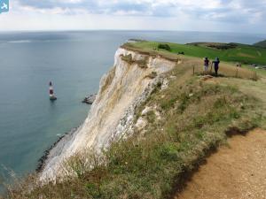
EAW022968 ENGLAND (1949). The town and Beachy Head, Eastbourne, from the north-east, 1949
© Copyright OpenStreetMap contributors and licensed by the OpenStreetMap Foundation. 2024. Cartography is licensed as CC BY-SA.
Details
| Title | [EAW022968] The town and Beachy Head, Eastbourne, from the north-east, 1949 |
| Reference | EAW022968 |
| Date | 6-May-1949 |
| Link | |
| Place name | EASTBOURNE |
| Parish | |
| District | |
| Country | ENGLAND |
| Easting / Northing | 561942, 99229 |
| Longitude / Latitude | 0.29684568017662, 50.769444055111 |
| National Grid Reference | TV619992 |
Pins
 Alan McFaden |
Friday 20th of December 2013 06:03:04 PM | |
 Alan McFaden |
Friday 20th of December 2013 06:02:33 PM | |
 Alan McFaden |
Friday 20th of December 2013 06:01:53 PM | |
 Alan McFaden |
Friday 20th of December 2013 06:01:20 PM | |
 Alan McFaden |
Friday 20th of December 2013 06:00:48 PM | |
 Alan McFaden |
Friday 20th of December 2013 06:00:20 PM | |
 Alan McFaden |
Friday 20th of December 2013 05:59:46 PM |


![[EAW022968] The town and Beachy Head, Eastbourne, from the north-east, 1949](http://britainfromabove.org.uk/sites/all/libraries/aerofilms-images/public/100x100/EAW/022/EAW022968.jpg)
![[EPW016886] The seafront, Ordnance Field and environs, Eastbourne, from the south-east, 1926](http://britainfromabove.org.uk/sites/all/libraries/aerofilms-images/public/100x100/EPW/016/EPW016886.jpg)
![[EPW000099] The Queens Hotel, Eastbourne, 1920](http://britainfromabove.org.uk/sites/all/libraries/aerofilms-images/public/100x100/EPW/000/EPW000099.jpg)
![[EPW000742] Marine Parade, Eastbourne, 1920](http://britainfromabove.org.uk/sites/all/libraries/aerofilms-images/public/100x100/EPW/000/EPW000742.jpg)


