
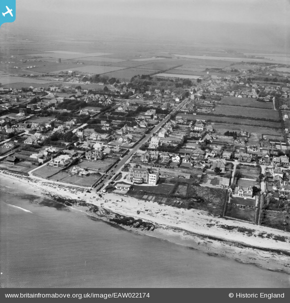
EAW022174 ENGLAND (1949). The town and the seafront, Selsey, from the south, 1949
© Copyright OpenStreetMap contributors and licensed by the OpenStreetMap Foundation. 2024. Cartography is licensed as CC BY-SA.
Nearby Images (3)
EAW022174

EAW022171

EAW022175

Details
| Title | [EAW022174] The town and the seafront, Selsey, from the south, 1949 |
| Reference | EAW022174 |
| Date | 17-April-1949 |
| Link | |
| Place name | SELSEY |
| Parish | SELSEY |
| District | |
| Country | ENGLAND |
| Easting / Northing | 485065, 92324 |
| Longitude / Latitude | -0.79473240917548, 50.723731800072 |
| National Grid Reference | SZ851923 |
Pins
 Steve Denne |
Thursday 23rd of June 2022 08:11:16 AM | |
Roy Chappell |
Thursday 24th of July 2014 08:51:56 AM |


