
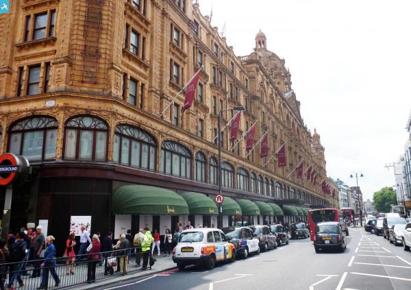
EAW021420 ENGLAND (1949). Harrods and environs, Brompton, 1949. This image has been produced from a print.

© Copyright OpenStreetMap contributors and licensed by the OpenStreetMap Foundation. 2024. Cartography is licensed as CC BY-SA.
Nearby Images (5)
EAW021420

EAW022139

EAW021419

EPW045420

EPW030076

Details
| Title | [EAW021420] Harrods and environs, Brompton, 1949. This image has been produced from a print. |
| Reference | EAW021420 |
| Date | 15-March-1949 |
| Link | |
| Place name | BROMPTON |
| Parish | |
| District | |
| Country | ENGLAND |
| Easting / Northing | 527655, 179404 |
| Longitude / Latitude | -0.160735084709, 51.498657901238 |
| National Grid Reference | TQ277794 |
Pins
 Alan McFaden |
Thursday 25th of September 2014 11:15:53 AM |
User Comment Contributions
 Harrods |
Alan McFaden |
Thursday 25th of September 2014 11:16:17 AM |


