
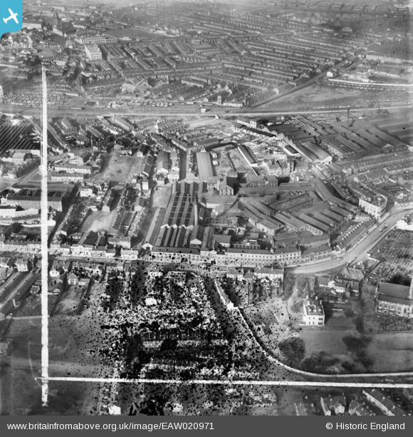
EAW020971 ENGLAND (1949). Rylands Brothers Ltd Church Street Wire Works and environs, Warrington, 1949. This image was marked by Aerofilms Ltd for photo editing.
© Copyright OpenStreetMap contributors and licensed by the OpenStreetMap Foundation. 2024. Cartography is licensed as CC BY-SA.
Nearby Images (12)
EAW020971

EAW020970

EAW020967

EAW020968

EAW020969

EAW020975

EAW020974

EAW020972

EAW020977

EAW020973

EAW020976

EAW020961

Details
| Title | [EAW020971] Rylands Brothers Ltd Church Street Wire Works and environs, Warrington, 1949. This image was marked by Aerofilms Ltd for photo editing. |
| Reference | EAW020971 |
| Date | 10-February-1949 |
| Link | |
| Place name | WARRINGTON |
| Parish | |
| District | |
| Country | ENGLAND |
| Easting / Northing | 361306, 388460 |
| Longitude / Latitude | -2.5819055820103, 53.39129467714 |
| National Grid Reference | SJ613885 |
Pins
 Paul1867 |
Friday 26th of August 2016 04:18:36 PM | |
Paul1867 |
Friday 26th of August 2016 04:17:23 PM | |
Paul1867 |
Friday 26th of August 2016 04:15:28 PM | |
Paul1867 |
Friday 26th of August 2016 04:14:03 PM | |
Paul1867 |
Friday 26th of August 2016 04:12:58 PM |


