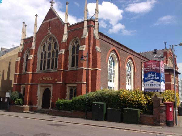
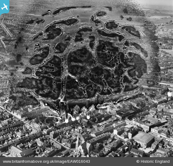
EAW016043 ENGLAND (1948). George Street, Stuart Street and the town, Luton, from the south, 1948. This image has been produced from a damaged negative.
© Copyright OpenStreetMap contributors and licensed by the OpenStreetMap Foundation. 2024. Cartography is licensed as CC BY-SA.
Nearby Images (13)
EAW016043

EPW053988

EPW026490

EPW026486

EPW019217

EPW053991

EAW016044

EAW016045

EAW016046

EPW046834

EPW019220

EPW019227

EPW026492
 and Bute Street (London and North Eastern Railway) railway stations, Luton, 1929")
Details
| Title | [EAW016043] George Street, Stuart Street and the town, Luton, from the south, 1948. This image has been produced from a damaged negative. |
| Reference | EAW016043 |
| Date | 19-May-1948 |
| Link | |
| Place name | LUTON |
| Parish | |
| District | |
| Country | ENGLAND |
| Easting / Northing | 508977, 221332 |
| Longitude / Latitude | -0.4166327549455, 51.879451095291 |
| National Grid Reference | TL090213 |