
EAW015765 ENGLAND (1948). Stonehenge, Stonehenge, from the south-east, 1948. This image has been produced from a print marked by Aerofilms Ltd for photo editing.

© Copyright OpenStreetMap contributors and licensed by the OpenStreetMap Foundation. 2024. Cartography is licensed as CC BY-SA.
Nearby Images (8)
EAW015765

EPW010990

EAW003338

EAW015764

EAW003339

EAW003337

EPW010992

EAW003340

Details
| Title | [EAW015765] Stonehenge, Stonehenge, from the south-east, 1948. This image has been produced from a print marked by Aerofilms Ltd for photo editing. |
| Reference | EAW015765 |
| Date | 18-May-1948 |
| Link | |
| Place name | STONEHENGE |
| Parish | AMESBURY |
| District | |
| Country | ENGLAND |
| Easting / Northing | 412237, 142177 |
| Longitude / Latitude | -1.8249200395497, 51.178175583307 |
| National Grid Reference | SU122422 |
Pins

User Comment Contributions
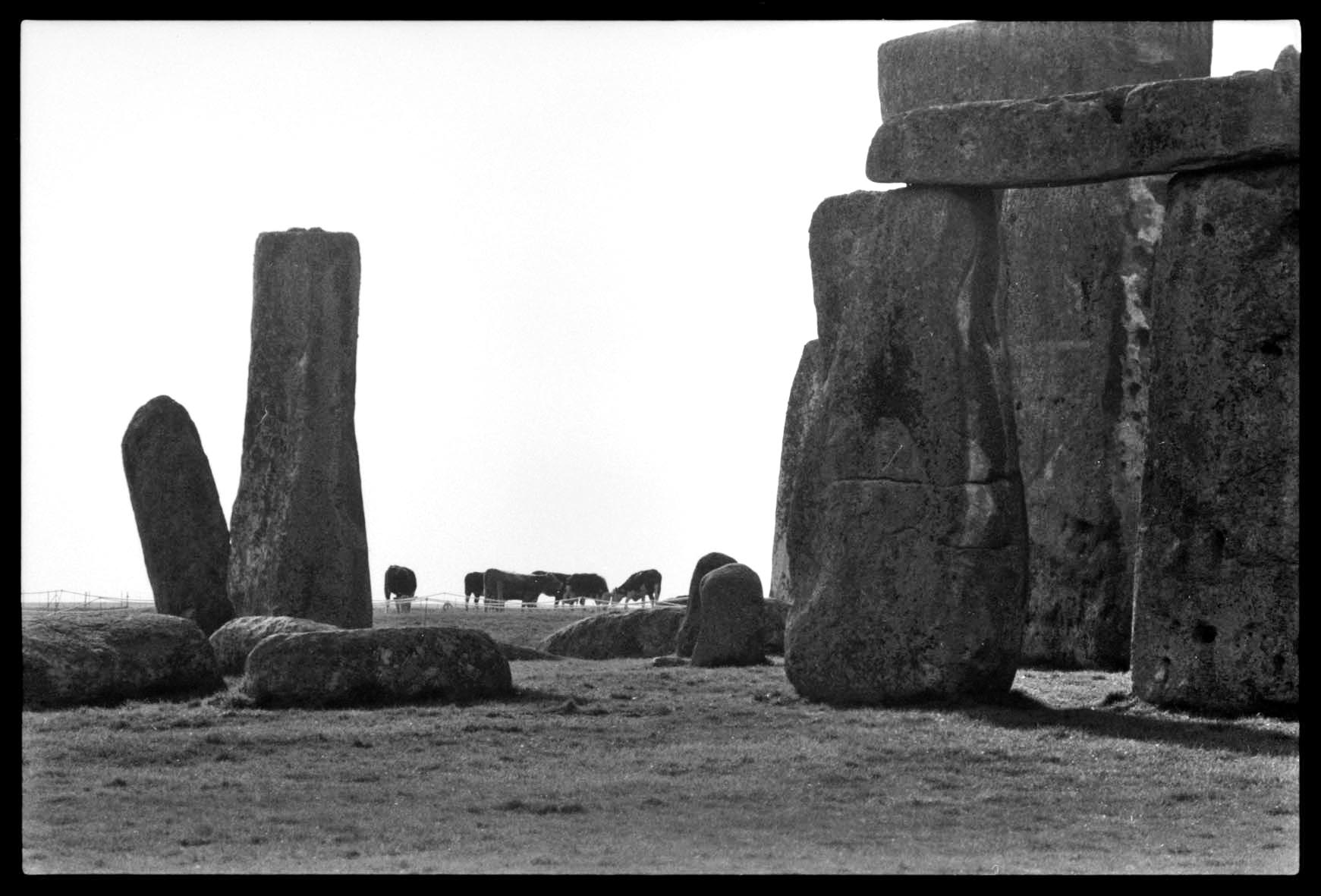 Stonehenge 1980's |
 Alan McFaden |
Thursday 20th of November 2014 09:08:03 PM |
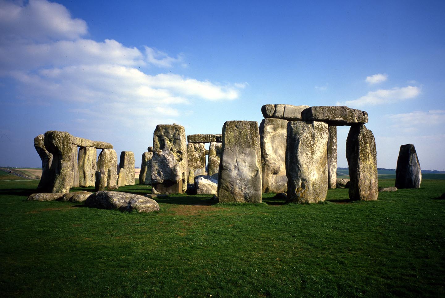
 Stonehenge 1980's |
Alan McFaden |
Thursday 20th of November 2014 09:06:15 PM |
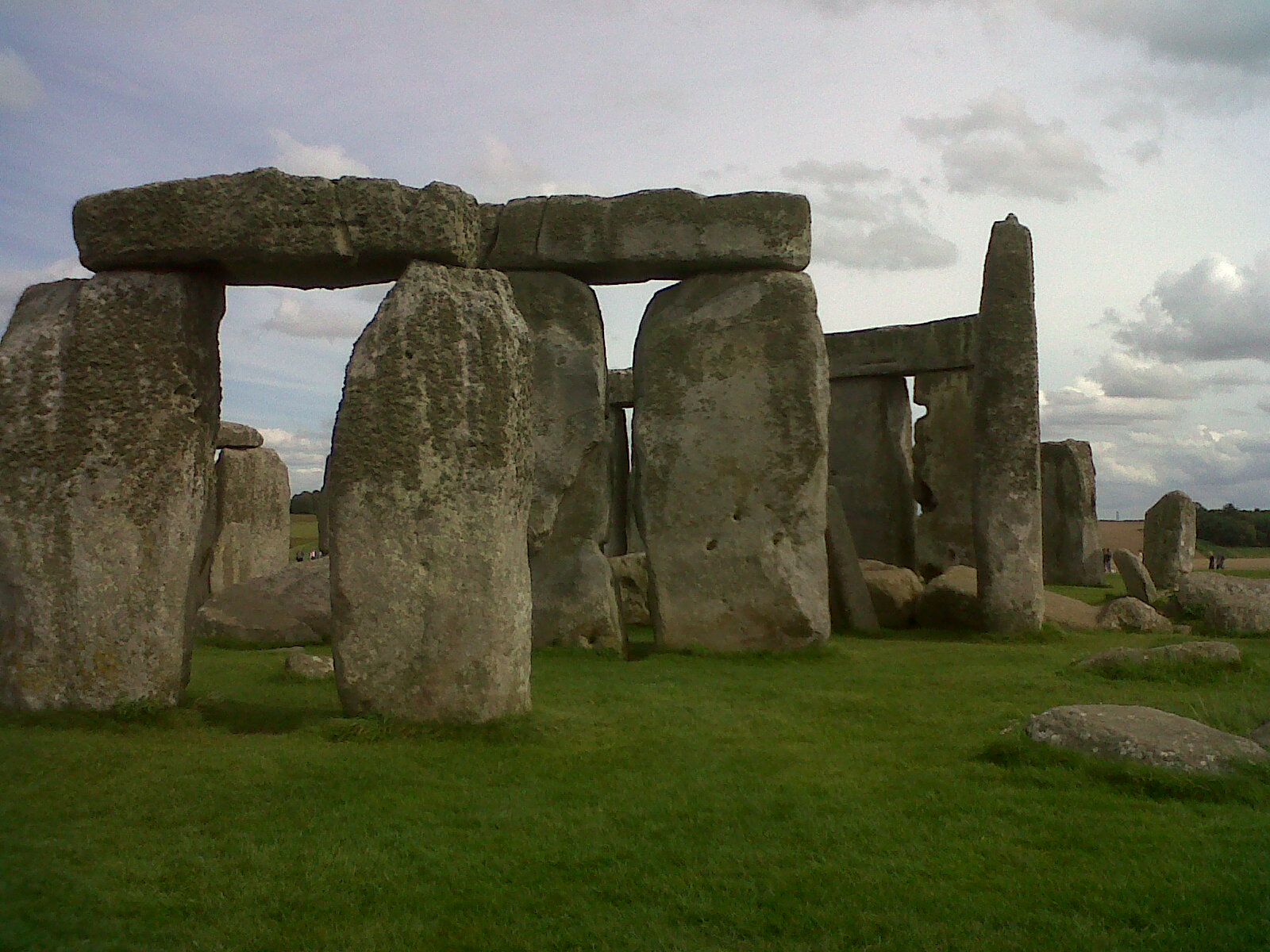
 Stonehenge 18/12/2013 |
 Class31 |
Thursday 23rd of October 2014 09:48:27 PM |
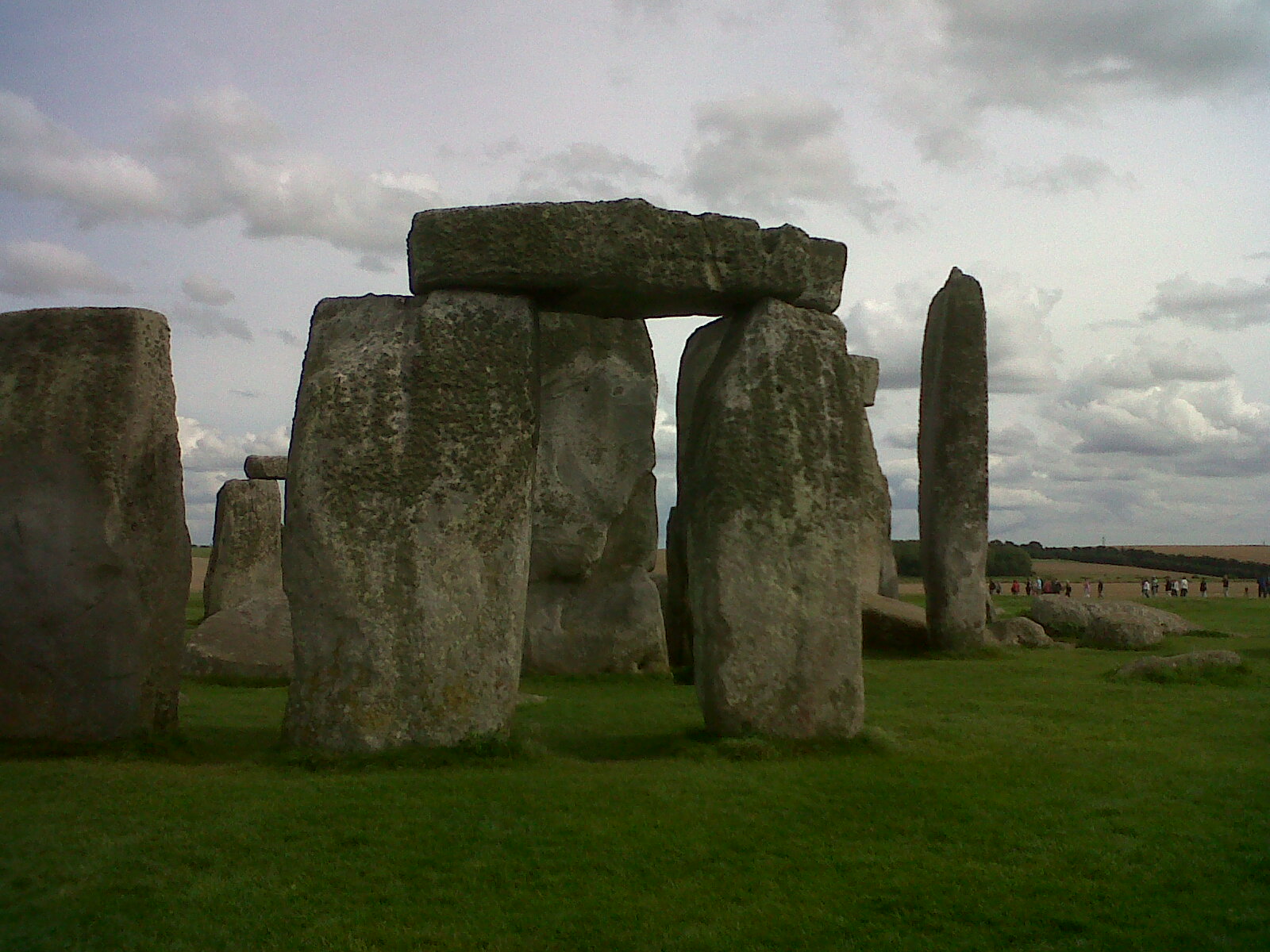
 Stonehenge |
Alan McFaden |
Thursday 23rd of October 2014 06:40:31 PM |
 Stonehenge, 26/08/2012 |
Class31 |
Saturday 20th of September 2014 08:27:56 PM |
 Stonehenge, 26/08/2012 |
Class31 |
Saturday 20th of September 2014 08:27:34 PM |


