
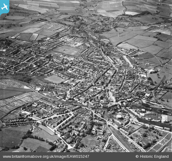
EAW015247 ENGLAND (1948). The town, Newport, from the north-east, 1948
© Copyright OpenStreetMap contributors and licensed by the OpenStreetMap Foundation. 2024. Cartography is licensed as CC BY-SA.
Nearby Images (6)
EAW015247

EPW023022

EAW015248

EAW022224

EPW039660

EPW032329

Details
| Title | [EAW015247] The town, Newport, from the north-east, 1948 |
| Reference | EAW015247 |
| Date | 6-May-1948 |
| Link | |
| Place name | NEWPORT |
| Parish | NEWPORT |
| District | |
| Country | ENGLAND |
| Easting / Northing | 450207, 89230 |
| Longitude / Latitude | -1.2889942316225, 50.699966529457 |
| National Grid Reference | SZ502892 |
Pins
 Peter52 |
Sunday 26th of January 2020 04:26:46 PM |


