
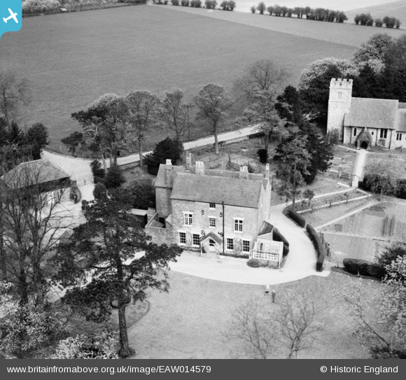
EAW014579 ENGLAND (1948). The Old Rectory and St Giles's Church, Wormshill, 1948
© Copyright OpenStreetMap contributors and licensed by the OpenStreetMap Foundation. 2024. Cartography is licensed as CC BY-SA.
Nearby Images (7)
EAW014579

EAW014581

EAW014580

EAW014577

EAW014578

EAW014575

EAW014576

Details
| Title | [EAW014579] The Old Rectory and St Giles's Church, Wormshill, 1948 |
| Reference | EAW014579 |
| Date | 16-April-1948 |
| Link | |
| Place name | WORMSHILL |
| Parish | WORMSHILL |
| District | |
| Country | ENGLAND |
| Easting / Northing | 588149, 157395 |
| Longitude / Latitude | 0.69832846855817, 51.284063312914 |
| National Grid Reference | TQ881574 |
Pins
Be the first to add a comment to this image!


