
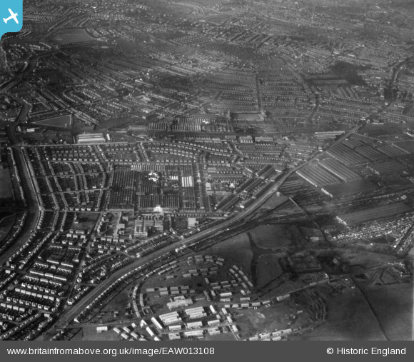
EAW013108 ENGLAND (1948). Osmaston Road, the Rolls Royce Nightingale Road Works and surrounding residential districts, Osmaston, from the south-east, 1948
© Copyright OpenStreetMap contributors and licensed by the OpenStreetMap Foundation. 2024. Cartography is licensed as CC BY-SA.
Nearby Images (11)
EAW013108

EPW046676

EPW046675

EAW013112

EPW046674

EAW013114

EPW046672

EPW046679

EAW013107

EAW013109

EAW044384

Details
| Title | [EAW013108] Osmaston Road, the Rolls Royce Nightingale Road Works and surrounding residential districts, Osmaston, from the south-east, 1948 |
| Reference | EAW013108 |
| Date | 4-February-1948 |
| Link | |
| Place name | OSMASTON |
| Parish | |
| District | |
| Country | ENGLAND |
| Easting / Northing | 436586, 333532 |
| Longitude / Latitude | -1.456068869107, 52.897664838192 |
| National Grid Reference | SK366335 |
Pins
 kath |
Thursday 17th of September 2020 04:28:50 PM | |
kath |
Thursday 17th of September 2020 04:28:24 PM | |
kath |
Thursday 17th of September 2020 04:27:51 PM | |
kath |
Thursday 17th of September 2020 04:26:54 PM | |
kath |
Thursday 17th of September 2020 04:26:15 PM | |
kath |
Thursday 17th of September 2020 04:25:52 PM | |
kath |
Thursday 17th of September 2020 04:25:28 PM | |
kath |
Thursday 17th of September 2020 04:25:07 PM | |
kath |
Thursday 17th of September 2020 04:18:31 PM | |
kath |
Thursday 17th of September 2020 04:18:02 PM | |
kath |
Thursday 17th of September 2020 04:17:36 PM |


