
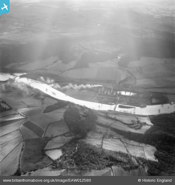
EAW012580 ENGLAND (1948). The River Severn in flood at Ironbridge A Power Station, Bildwas, 1948
© Copyright OpenStreetMap contributors and licensed by the OpenStreetMap Foundation. 2024. Cartography is licensed as CC BY-SA.
Nearby Images (3)
EAW012580

EAW012667

EPW034013

Details
| Title | [EAW012580] The River Severn in flood at Ironbridge A Power Station, Bildwas, 1948 |
| Reference | EAW012580 |
| Date | 14-January-1948 |
| Link | |
| Place name | BUILDWAS |
| Parish | BUILDWAS |
| District | |
| Country | ENGLAND |
| Easting / Northing | 365497, 304092 |
| Longitude / Latitude | -2.5098632137279, 52.633130663508 |
| National Grid Reference | SJ655041 |
Pins
Be the first to add a comment to this image!


