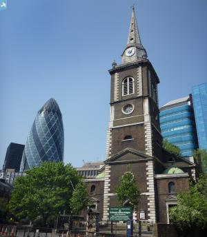
EAW011144 ENGLAND (1947). Beaufort House, White Kennett Street and environs, London, 1947
© Copyright OpenStreetMap contributors and licensed by the OpenStreetMap Foundation. 2024. Cartography is licensed as CC BY-SA.
Nearby Images (13)
Details
| Title | [EAW011144] Beaufort House, White Kennett Street and environs, London, 1947 |
| Reference | EAW011144 |
| Date | 30-September-1947 |
| Link | |
| Place name | LONDON |
| Parish | |
| District | |
| Country | ENGLAND |
| Easting / Northing | 533586, 181370 |
| Longitude / Latitude | -0.07458656332111, 51.514956431936 |
| National Grid Reference | TQ336814 |
Pins
 Chaz |
Monday 16th of August 2021 10:35:52 PM | |
 Class31 |
Wednesday 23rd of July 2014 09:20:16 AM | |
 Class31 |
Wednesday 23rd of July 2014 09:19:52 AM | |
 Class31 |
Wednesday 23rd of July 2014 09:19:10 AM | |
 Alan McFaden |
Monday 24th of March 2014 10:05:26 AM |
User Comment Contributions
View is looking east. |
 Class31 |
Monday 12th of May 2014 01:30:30 PM |


![[EAW011144] Beaufort House, White Kennett Street and environs, London, 1947](http://britainfromabove.org.uk/sites/all/libraries/aerofilms-images/public/100x100/EAW/011/EAW011144.jpg)
![[EPW045403] Aldgate High Street and environs, London, 1934](http://britainfromabove.org.uk/sites/all/libraries/aerofilms-images/public/100x100/EPW/045/EPW045403.jpg)
![[EAW048559] A cityscape over Whitechapel, Wapping and Shadwell, London, from the west, 1953](http://britainfromabove.org.uk/sites/all/libraries/aerofilms-images/public/100x100/EAW/048/EAW048559.jpg)
![[EAW011376] Houndsditch and environs, London, 1947](http://britainfromabove.org.uk/sites/all/libraries/aerofilms-images/public/100x100/EAW/011/EAW011376.jpg)
![[EAW011377] The Port of London Authority's Warehouses on New Street, London, 1947](http://britainfromabove.org.uk/sites/all/libraries/aerofilms-images/public/100x100/EAW/011/EAW011377.jpg)
![[EAW011171] Minories, Aldgate Bus Station and environs, London, 1947](http://britainfromabove.org.uk/sites/all/libraries/aerofilms-images/public/100x100/EAW/011/EAW011171.jpg)
![[EAW011143] The Port of London Authority Warehouses (formerly East India Company Warehouses) at Devonshire Square and environs, London, 1947](http://britainfromabove.org.uk/sites/all/libraries/aerofilms-images/public/100x100/EAW/011/EAW011143.jpg)
![[EAW011145] St Botolph's Church, Aldgate High Street and environs, London, 1947](http://britainfromabove.org.uk/sites/all/libraries/aerofilms-images/public/100x100/EAW/011/EAW011145.jpg)
![[EPW005770] Whitechapel High Street, Whitechapel, 1921](http://britainfromabove.org.uk/sites/all/libraries/aerofilms-images/public/100x100/EPW/005/EPW005770.jpg)
![[EAW011195] The Port of London Authority Warehouses (formerly East India Company Warehouses), Bury Street and environs, London, 1947](http://britainfromabove.org.uk/sites/all/libraries/aerofilms-images/public/100x100/EAW/011/EAW011195.jpg)
![[EPW045383] The view over the City and the East End of London towards the Thames Estuary, London, from the west, 1934. This image has been produced from a damaged negative.](http://britainfromabove.org.uk/sites/all/libraries/aerofilms-images/public/100x100/EPW/045/EPW045383.jpg)
![[EAW011172] The area around Creechurch Lane and Aldgate High Street, London, 1947](http://britainfromabove.org.uk/sites/all/libraries/aerofilms-images/public/100x100/EAW/011/EAW011172.jpg)
![[EAW004895] Fenchurch Street and environs including bomb damage and cleared ground, London, 1947](http://britainfromabove.org.uk/sites/all/libraries/aerofilms-images/public/100x100/EAW/004/EAW004895.jpg)


