
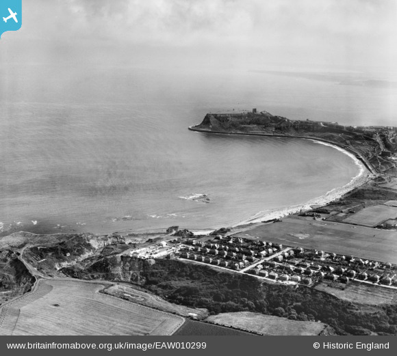
EAW010299 ENGLAND (1947). North Bay, Scarborough, from the north-west, 1947
© Copyright OpenStreetMap contributors and licensed by the OpenStreetMap Foundation. 2024. Cartography is licensed as CC BY-SA.
Nearby Images (5)
EAW010299

EAW016700

EAW010300

EAW010302

EAW010306

Details
| Title | [EAW010299] North Bay, Scarborough, from the north-west, 1947 |
| Reference | EAW010299 |
| Date | 25-August-1947 |
| Link | |
| Place name | SCARBOROUGH |
| Parish | |
| District | |
| Country | ENGLAND |
| Easting / Northing | 503633, 490620 |
| Longitude / Latitude | -0.40730223583123, 54.300507095561 |
| National Grid Reference | TA036906 |
Pins
 Matt Aldred edob.mattaldred.com |
Friday 27th of November 2020 11:05:14 PM | |
Matt Aldred edob.mattaldred.com |
Friday 27th of November 2020 11:04:48 PM | |
 redmist |
Thursday 12th of September 2019 08:55:57 AM | |
Chris Kolonko |
Wednesday 9th of August 2017 04:31:41 PM | |
Al |
Sunday 5th of March 2017 06:35:00 PM | |
Al |
Sunday 5th of March 2017 06:34:21 PM |


