
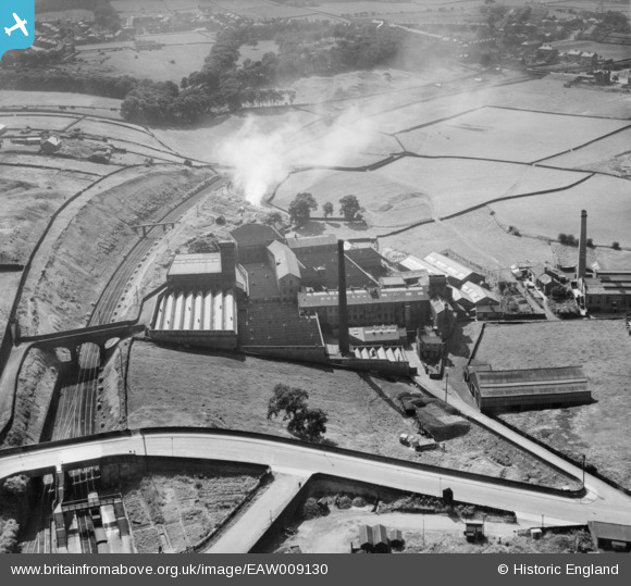
EAW009130 ENGLAND (1947). Beckside Worsted Mills at Great Horton, Bradford, 1947
© Copyright OpenStreetMap contributors and licensed by the OpenStreetMap Foundation. 2024. Cartography is licensed as CC BY-SA.
Nearby Images (12)
EAW009130

EAW009132

EAW009131

EAW009134

EAW009136

EAW009128

EAW009129

EAW009133

EAW009137

EAW009135

EPW024410

EPW052161

Details
| Title | [EAW009130] Beckside Worsted Mills at Great Horton, Bradford, 1947 |
| Reference | EAW009130 |
| Date | 15-August-1947 |
| Link | |
| Place name | BRADFORD |
| Parish | |
| District | |
| Country | ENGLAND |
| Easting / Northing | 414031, 431862 |
| Longitude / Latitude | -1.787035037621, 53.782678387607 |
| National Grid Reference | SE140319 |
Pins
Be the first to add a comment to this image!


