
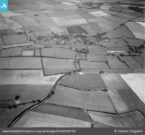
EAW008766 ENGLAND (1947). The village, Bishop's Sutton, 1947
© Copyright OpenStreetMap contributors and licensed by the OpenStreetMap Foundation. 2024. Cartography is licensed as CC BY-SA.
Details
| Title | [EAW008766] The village, Bishop's Sutton, 1947 |
| Reference | EAW008766 |
| Date | 9-August-1947 |
| Link | |
| Place name | BISHOP'S SUTTON |
| Parish | BISHOPS SUTTON |
| District | |
| Country | ENGLAND |
| Easting / Northing | 460940, 132237 |
| Longitude / Latitude | -1.1298388743208, 51.085677255224 |
| National Grid Reference | SU609322 |
Pins
 Ferrers |
Friday 15th of December 2023 06:58:10 PM |


