
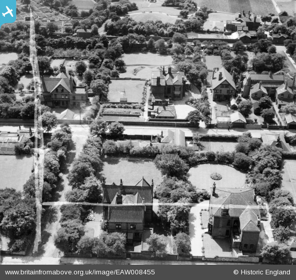
EAW008455 ENGLAND (1947). Ashleigh house (105 Newport Street) and the surrounding residential area, Oldham, 1947. This image was marked by Aerofilms Ltd for photo editing.
© Copyright OpenStreetMap contributors and licensed by the OpenStreetMap Foundation. 2024. Cartography is licensed as CC BY-SA.
Nearby Images (21)
EAW008455
 and the surrounding residential area, Oldham, 1947. This image was marked by Aerofilms Ltd for photo editing.")
EAW008456
 looking towards the Werneth Cotton Mill, Oldham, 1947")
EAW008457
 and the surrounding residential area, Oldham, 1947")
EAW008451
 and the surrounding residential area, Oldham, 1947")
EAW008453
 and the surrounding residential area, Oldham, 1947. This image was marked by Aerofilms Ltd for photo editing.")
EAW008454
 and the surrounding residential area, Oldham, 1947. This image was marked by Aerofilms Ltd for photo editing.")
EAW004258

EAW008452
 and the surrounding residential area, Oldham, 1947")
EAW004255

EAW004259

EAW004257

EAW004260

EAW004256

EAW004287

EAW004284

EAW004289

EAW004286

EPW050222

EPW050220

EPW050221

EPW050223

Details
| Title | [EAW008455] Ashleigh house (105 Newport Street) and the surrounding residential area, Oldham, 1947. This image was marked by Aerofilms Ltd for photo editing. |
| Reference | EAW008455 |
| Date | 27-July-1947 |
| Link | |
| Place name | OLDHAM |
| Parish | |
| District | |
| Country | ENGLAND |
| Easting / Northing | 391700, 404084 |
| Longitude / Latitude | -2.1252368354396, 53.533099266473 |
| National Grid Reference | SD917041 |
Pins
 eddief |
Thursday 28th of November 2013 11:16:52 AM | |
eddief |
Thursday 28th of November 2013 11:16:09 AM | |
eddief |
Thursday 28th of November 2013 11:03:04 AM | |
eddief |
Thursday 28th of November 2013 10:58:42 AM | |
eddief |
Thursday 28th of November 2013 10:57:35 AM |


