
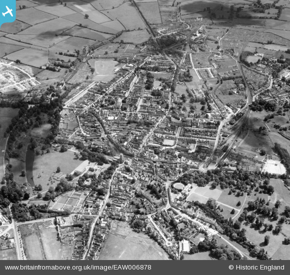
EAW006878 ENGLAND (1947). The town, Cirencester, 1947
© Copyright OpenStreetMap contributors and licensed by the OpenStreetMap Foundation. 2024. Cartography is licensed as CC BY-SA.
Nearby Images (16)
EAW006878

EPW022409

EPW022415

EPW022417

EAW006876

EPW022413

EPW006310

EAW006877

EPW022410

EPW022414

EPW022407

EPW022416

EPW022412

EAW031678

EAW031681

EAW031677

Details
| Title | [EAW006878] The town, Cirencester, 1947 |
| Reference | EAW006878 |
| Date | 10-June-1947 |
| Link | |
| Place name | CIRENCESTER |
| Parish | CIRENCESTER |
| District | |
| Country | ENGLAND |
| Easting / Northing | 402389, 201861 |
| Longitude / Latitude | -1.9654164014841, 51.715015182025 |
| National Grid Reference | SP024019 |
Pins
 MB |
Wednesday 19th of October 2016 05:27:36 PM | |
MB |
Wednesday 19th of October 2016 05:27:05 PM | |
MB |
Wednesday 19th of October 2016 05:26:09 PM | |
MB |
Wednesday 19th of October 2016 05:22:39 PM | |
MB |
Wednesday 19th of October 2016 05:20:46 PM | |
gBr |
Sunday 30th of August 2015 08:20:35 PM | |
gBr |
Sunday 30th of August 2015 08:18:55 PM | |
gBr |
Sunday 30th of August 2015 08:15:00 PM | |
gBr |
Sunday 30th of August 2015 08:13:47 PM | |
Rambler |
Saturday 2nd of May 2015 11:30:28 PM | |
 Alan McFaden |
Wednesday 21st of May 2014 09:53:36 PM |


