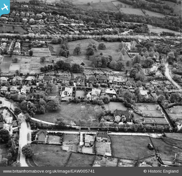
EAW005741 ENGLAND (1947). Westgarth House and the surrounding residential area, Fulwood, 1947. This image was marked by Aerofilms Ltd for photo editing.
© Copyright OpenStreetMap contributors and licensed by the OpenStreetMap Foundation. 2024. Cartography is licensed as CC BY-SA.
Nearby Images (9)
EAW005741

EAW005733

EAW005738

EAW005740

EAW005737

EAW005739

EAW005735

EAW005736

EAW005734

Details
| Title | [EAW005741] Westgarth House and the surrounding residential area, Fulwood, 1947. This image was marked by Aerofilms Ltd for photo editing. |
| Reference | EAW005741 |
| Date | 15-May-1947 |
| Link | |
| Place name | FULWOOD |
| Parish | |
| District | |
| Country | ENGLAND |
| Easting / Northing | 430965, 385896 |
| Longitude / Latitude | -1.5345748153077, 53.368755870954 |
| National Grid Reference | SK310859 |
Pins
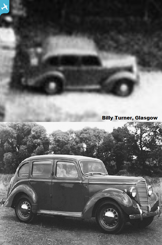
 Billy Turner |
Tuesday 17th of December 2019 06:11:38 PM | |
Billy Turner |
Tuesday 17th of December 2019 06:09:45 PM |