
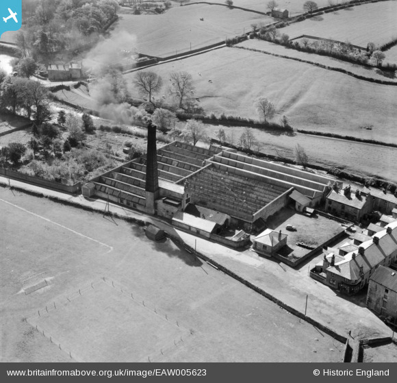
EAW005623 ENGLAND (1947). The High Bentham Cotton Mill, High Bentham, 1947
© Copyright OpenStreetMap contributors and licensed by the OpenStreetMap Foundation. 2024. Cartography is licensed as CC BY-SA.
Nearby Images (21)
EAW005623

EAW005624

EAW005619

EAW005622

EAW005625

EAW005621

EAW005620

EAW045650

EAW005615

EAW045648

EAW005617

EAW045645

EAW045647

EAW045642

EAW005616

EAW045643

EAW045644

EAW045646

EAW005618

EAW045649

EAW005614

Details
| Title | [EAW005623] The High Bentham Cotton Mill, High Bentham, 1947 |
| Reference | EAW005623 |
| Date | 15-May-1947 |
| Link | |
| Place name | HIGH BENTHAM |
| Parish | BENTHAM |
| District | |
| Country | ENGLAND |
| Easting / Northing | 366593, 468778 |
| Longitude / Latitude | -2.511089009715, 54.11361247817 |
| National Grid Reference | SD666688 |
Pins
Be the first to add a comment to this image!


