
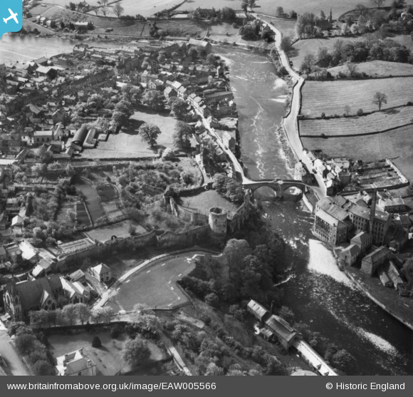
EAW005566 ENGLAND (1947). The castle ruins and environs, Barnard Castle, 1947. This image has been produced from a print.
© Copyright OpenStreetMap contributors and licensed by the OpenStreetMap Foundation. 2024. Cartography is licensed as CC BY-SA.
Nearby Images (9)
EAW005566

EPW019871

EAW005567

EAW005569

EAW005570

EAW005568

EPW019872

EPW019874

EPW019875

Details
| Title | [EAW005566] The castle ruins and environs, Barnard Castle, 1947. This image has been produced from a print. |
| Reference | EAW005566 |
| Date | 17-May-1947 |
| Link | |
| Place name | BARNARD CASTLE |
| Parish | BARNARD CASTLE |
| District | |
| Country | ENGLAND |
| Easting / Northing | 404858, 516439 |
| Longitude / Latitude | -1.9249001054348, 54.543061682665 |
| National Grid Reference | NZ049164 |
Pins

User Comment Contributions
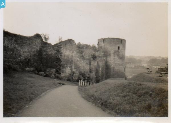
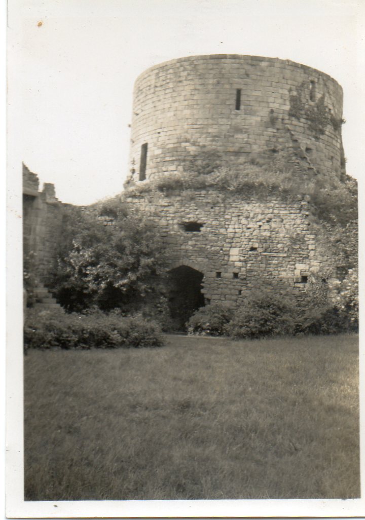 The castle ruins, Barnard Castle , June or July 1939 |
 Class31 |
Tuesday 11th of November 2014 05:24:24 PM |


