
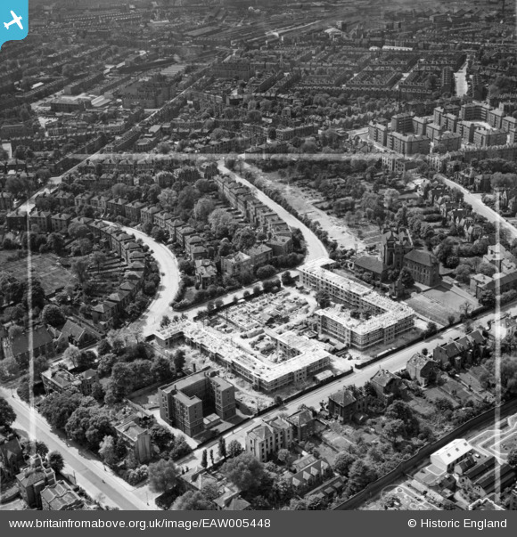
EAW005448 ENGLAND (1947). The Hilldrop Estate under construction, Tufnell Park, 1947. This image was marked by Aerofilms Ltd for photo editing.
© Copyright OpenStreetMap contributors and licensed by the OpenStreetMap Foundation. 2024. Cartography is licensed as CC BY-SA.
Nearby Images (18)
EAW005448

EPW053671

EAW005454

EAW005452

EAW005447

EAW005449

EPW053673
 and environs, Tufnell Park, 1937. This image has been affected by flare.")
EPW053667

EPW053664

EAW005451

EPW053672

EPW053668

EPW053669

EAW005457

EPW053674

EAW005453

EPW053670

EAW015855

Details
| Title | [EAW005448] The Hilldrop Estate under construction, Tufnell Park, 1947. This image was marked by Aerofilms Ltd for photo editing. |
| Reference | EAW005448 |
| Date | May-1947 |
| Link | |
| Place name | TUFNELL PARK |
| Parish | |
| District | |
| Country | ENGLAND |
| Easting / Northing | 529861, 185390 |
| Longitude / Latitude | -0.12676186785592, 51.55195548089 |
| National Grid Reference | TQ299854 |
Pins
 James Chandler |
Friday 7th of February 2014 07:33:45 PM | |
mike18 |
Saturday 18th of January 2014 06:17:15 PM |


