
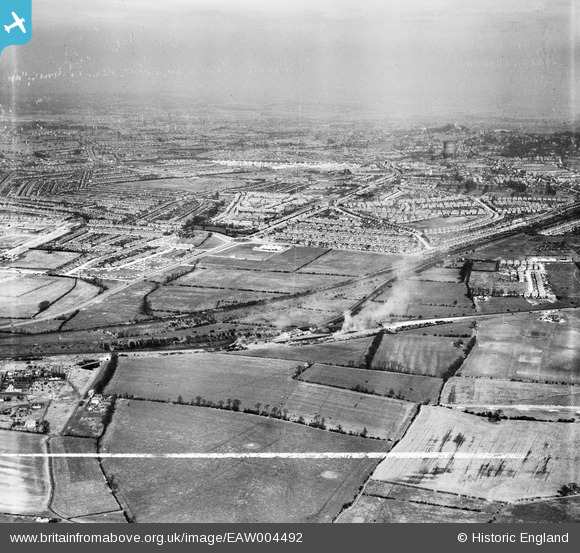
EAW004492 ENGLAND (1947). South Ruislip looking towards Rayners Lane and beyond, South Ruislip, from the south-west, 1947. This image was marked by Aerofilms Ltd for photo editing.
© Copyright OpenStreetMap contributors and licensed by the OpenStreetMap Foundation. 2024. Cartography is licensed as CC BY-SA.
Nearby Images (3)
EAW004492

EAW004491

EAW004496

Details
| Title | [EAW004492] South Ruislip looking towards Rayners Lane and beyond, South Ruislip, from the south-west, 1947. This image was marked by Aerofilms Ltd for photo editing. |
| Reference | EAW004492 |
| Date | 14-April-1947 |
| Link | |
| Place name | SOUTH RUISLIP |
| Parish | |
| District | |
| Country | ENGLAND |
| Easting / Northing | 511776, 184934 |
| Longitude / Latitude | -0.38766183141255, 51.55173037119 |
| National Grid Reference | TQ118849 |
Pins
 The Laird |
Thursday 3rd of March 2016 06:21:32 PM | |
TinyTim |
Friday 31st of July 2015 06:14:43 PM | |
TinyTim |
Friday 31st of July 2015 06:09:19 PM | |
TinyTim |
Friday 31st of July 2015 06:07:10 PM | |
TinyTim |
Friday 31st of July 2015 05:58:18 PM | |
TinyTim |
Friday 31st of July 2015 05:57:32 PM | |
TinyTim |
Friday 31st of July 2015 05:56:38 PM | |
TinyTim |
Friday 31st of July 2015 05:56:09 PM | |
TinyTim |
Friday 31st of July 2015 05:55:22 PM | |
TinyTim |
Friday 31st of July 2015 05:54:11 PM | |
TinyTim |
Friday 31st of July 2015 05:52:52 PM | |
TinyTim |
Friday 31st of July 2015 05:52:47 PM | |
southallboy |
Sunday 29th of September 2013 03:11:42 PM |


