
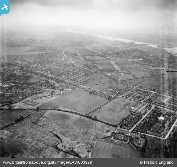
EAW003929 ENGLAND (1947). Cowley Marsh, Florence Park and environs, Temple Cowley, from the north-east, 1947
© Copyright OpenStreetMap contributors and licensed by the OpenStreetMap Foundation. 2024. Cartography is licensed as CC BY-SA.
Details
| Title | [EAW003929] Cowley Marsh, Florence Park and environs, Temple Cowley, from the north-east, 1947 |
| Reference | EAW003929 |
| Date | 20-March-1947 |
| Link | |
| Place name | TEMPLE COWLEY |
| Parish | |
| District | |
| Country | ENGLAND |
| Easting / Northing | 454153, 204968 |
| Longitude / Latitude | -1.2156274460683, 51.740341592862 |
| National Grid Reference | SP542050 |
Pins
 Gordon |
Monday 1st of February 2021 07:05:21 PM | |
David Brimson |
Tuesday 17th of September 2019 07:26:31 PM | |
David Brimson |
Tuesday 17th of September 2019 07:24:04 PM | |
ndaisley |
Tuesday 13th of February 2018 12:55:39 PM | |
lappyman |
Thursday 18th of September 2014 12:37:03 PM | |
steiny |
Monday 2nd of September 2013 09:35:31 PM | |
steiny |
Monday 2nd of September 2013 09:34:57 PM | |
steiny |
Monday 2nd of September 2013 09:34:08 PM |


