
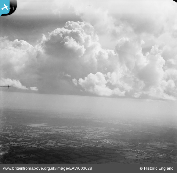
EAW003628 ENGLAND (1947). Countryside between Radlett and Barnet, Borehamwood, from the north-west, 1947
© Copyright OpenStreetMap contributors and licensed by the OpenStreetMap Foundation. 2024. Cartography is licensed as CC BY-SA.
Nearby Images (5)
EAW003628

EPW057944
 under construction, Borehamwood, from the north-west, 1938")
EPW061141

EAW017177

EAW017171

Details
| Title | [EAW003628] Countryside between Radlett and Barnet, Borehamwood, from the north-west, 1947 |
| Reference | EAW003628 |
| Date | March-1947 |
| Link | |
| Place name | BOREHAMWOOD |
| Parish | ELSTREE AND BOREHAMWOOD |
| District | |
| Country | ENGLAND |
| Easting / Northing | 520665, 197597 |
| Longitude / Latitude | -0.255142923167, 51.663716311721 |
| National Grid Reference | TQ207976 |
Pins
Be the first to add a comment to this image!


