
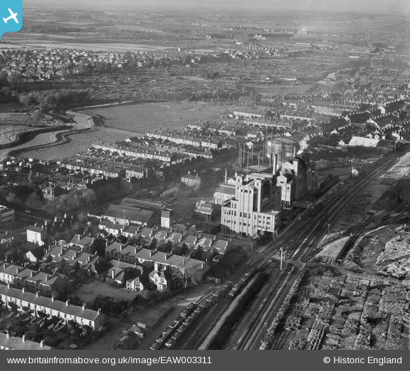
EAW003311 ENGLAND (1946). The Lincoln Gas Works and environs, Bracebridge, from the south-east, 1946
© Copyright OpenStreetMap contributors and licensed by the OpenStreetMap Foundation. 2024. Cartography is licensed as CC BY-SA.
Nearby Images (23)
EAW003311

EAW003309

EAW003308

EAW003307

EPW041497

EAW003306

EAW003310

EPW041496

EAW002780

EPW041500

EAW003303

EPW041499

EPW041498

EAW002778

EAW003302

EAW003305

EAW003301

EAW002776

EAW002777

EAW003304

EAW002779

EPW041495

EAW002775

Details
| Title | [EAW003311] The Lincoln Gas Works and environs, Bracebridge, from the south-east, 1946 |
| Reference | EAW003311 |
| Date | 4-November-1946 |
| Link | |
| Place name | BRACEBRIDGE |
| Parish | |
| District | |
| Country | ENGLAND |
| Easting / Northing | 496971, 368630 |
| Longitude / Latitude | -0.54796204438187, 53.205599030517 |
| National Grid Reference | SK970686 |
Pins
 redmist |
Thursday 10th of March 2022 04:21:46 PM |


