
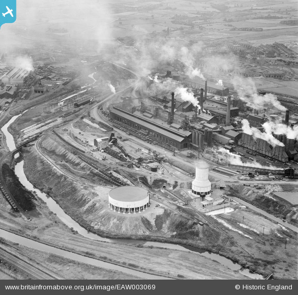
EAW003069 ENGLAND (1946). The Devonshire Works, Staveley, 1946
© Copyright OpenStreetMap contributors and licensed by the OpenStreetMap Foundation. 2024. Cartography is licensed as CC BY-SA.
Nearby Images (22)
EAW003069

EAW003062

EAW044350

EPW057336

EPW041678

EPW057344

EPW057353

EAW003063

EPW041681

EAW003066

EPW057332

EPW041679

EPW041682

EPW041673

EAW043848

EPW041680

EPW041676

EAW003064

EAW009691

EPW057354

EAW043847

EAW043849

Details
| Title | [EAW003069] The Devonshire Works, Staveley, 1946 |
| Reference | EAW003069 |
| Date | 8-October-1946 |
| Link | |
| Place name | STAVELEY |
| Parish | STAVELEY |
| District | |
| Country | ENGLAND |
| Easting / Northing | 442407, 374739 |
| Longitude / Latitude | -1.3640963578905, 53.267669193643 |
| National Grid Reference | SK424747 |
Pins
 eric watts |
Sunday 31st of August 2014 01:52:34 PM |


