
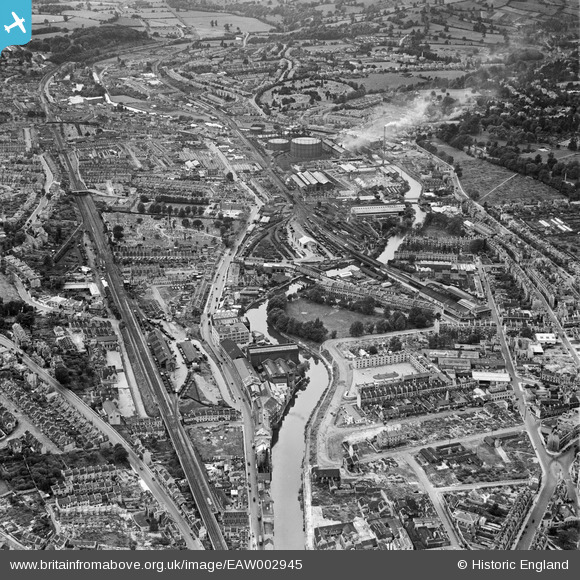
EAW002945 ENGLAND (1946). The Newark Works, Lower Bristol Road and environs, Bath, from the east, 1946
© Copyright OpenStreetMap contributors and licensed by the OpenStreetMap Foundation. 2024. Cartography is licensed as CC BY-SA.
Nearby Images (15)
EAW002945

EAW002940

EPW001944

EAW026457

EAW002941

EAW002942

EAW002944

EAW026458

EAW002939

EAW023889

EAW023886

EAW023888

EAW026456

EPR000130

EPR000131

Details
| Title | [EAW002945] The Newark Works, Lower Bristol Road and environs, Bath, from the east, 1946 |
| Reference | EAW002945 |
| Date | 2-October-1946 |
| Link | |
| Place name | BATH |
| Parish | |
| District | |
| Country | ENGLAND |
| Easting / Northing | 374678, 164484 |
| Longitude / Latitude | -2.3638709660292, 51.3783450992 |
| National Grid Reference | ST747645 |
Pins
 railwaymanx |
Monday 16th of February 2015 06:17:30 PM | |
railwaymanx |
Monday 16th of February 2015 06:17:03 PM | |
railwaymanx |
Monday 16th of February 2015 06:16:32 PM | |
Jules of Radstock |
Friday 27th of June 2014 08:57:16 PM |


