
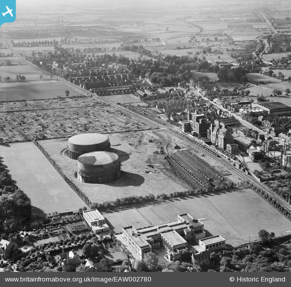
EAW002780 ENGLAND (1946). The Gas Works, Bracebridge, 1946
© Copyright OpenStreetMap contributors and licensed by the OpenStreetMap Foundation. 2024. Cartography is licensed as CC BY-SA.
Nearby Images (24)
EAW002780

EPW041496

EAW003303

EAW002778

EAW003302

EAW003309

EPW041497

EAW003308

EAW003305

EAW002777

EAW003311

EAW003306

EAW003301

EPW041500

EAW003307

EPW041499

EAW003310

EPW041498

EAW003304

EAW002776

EPW041495

EAW002779

EAW002775

EAW003300

Details
| Title | [EAW002780] The Gas Works, Bracebridge, 1946 |
| Reference | EAW002780 |
| Date | 11-September-1946 |
| Link | |
| Place name | BRACEBRIDGE |
| Parish | |
| District | |
| Country | ENGLAND |
| Easting / Northing | 497067, 368644 |
| Longitude / Latitude | -0.54652079417584, 53.205707327277 |
| National Grid Reference | SK971686 |
Pins
 Sparky |
Saturday 16th of September 2017 06:22:51 PM | |
Sparky |
Saturday 16th of September 2017 06:22:04 PM | |
Sparky |
Wednesday 26th of July 2017 10:42:04 AM | |
Ian |
Sunday 11th of May 2014 09:27:35 PM | |
Ian |
Sunday 11th of May 2014 09:25:58 PM | |
Ian |
Sunday 11th of May 2014 09:14:49 PM | |
Ian |
Sunday 11th of May 2014 09:09:03 PM |


