
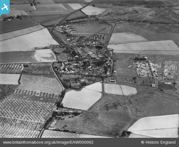
EAW000062 ENGLAND (1946). The Kingsnorth Petroleum Station, Kingsnorth, 1946. This image has been produced from a print.
© Copyright OpenStreetMap contributors and licensed by the OpenStreetMap Foundation. 2024. Cartography is licensed as CC BY-SA.
Nearby Images (21)
EAW000062

EPW000062

EAW000059

EPW047585

EAW000063

EPW047582

EPW047580

EAW032070

EAW032064

EAW000061

EPW047584

EPW047586

EPW047578

EPW047579

EAW000060

EAW032068

EPW047583

EPW000060A

EAW032067

EAW032069

EPW047581

Details
| Title | [EAW000062] The Kingsnorth Petroleum Station, Kingsnorth, 1946. This image has been produced from a print. |
| Reference | EAW000062 |
| Date | 31-March-1946 |
| Link | |
| Place name | KINGSNORTH |
| Parish | HOO ST. WERBURGH |
| District | |
| Country | ENGLAND |
| Easting / Northing | 580642, 173032 |
| Longitude / Latitude | 0.59872930572979, 51.426968708082 |
| National Grid Reference | TQ806730 |
Pins
 Sparky |
Wednesday 13th of September 2017 08:11:00 AM |


