
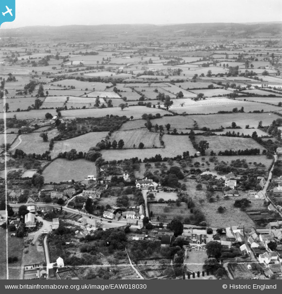
eaw018030 ENGLAND (1948). West Town and the surrounding countryside, Backwell, from the south-east, 1948. This image has been produced from a print marked by Aerofilms Ltd for photo editing.
© Hawlfraint cyfranwyr OpenStreetMap a thrwyddedwyd gan yr OpenStreetMap Foundation. 2024. Trwyddedir y gartograffeg fel CC BY-SA.
Delweddau cyfagos (4)
EAW018030

EAW018031

EAW018032

EAW018033

Manylion
| Pennawd | [EAW018030] West Town and the surrounding countryside, Backwell, from the south-east, 1948. This image has been produced from a print marked by Aerofilms Ltd for photo editing. |
| Cyfeirnod | EAW018030 |
| Dyddiad | 14-August-1948 |
| Dolen | |
| Enw lle | BACKWELL |
| Plwyf | BACKWELL |
| Ardal | |
| Gwlad | ENGLAND |
| Dwyreiniad / Gogleddiad | 348082, 168105 |
| Hydred / Lledred | -2.7465528771614, 51.409094984913 |
| Cyfeirnod Grid Cenedlaethol | ST481681 |
Pinnau
 MB |
Monday 2nd of March 2015 08:14:03 PM | |
MB |
Monday 2nd of March 2015 08:12:55 PM | |
MB |
Monday 2nd of March 2015 08:10:57 PM | |
MB |
Monday 2nd of March 2015 08:09:51 PM |


