
WAW027847 WALES (1950). View of Mettoy factory, Fforestfach showing building 'W'

© Hawlfraint cyfranwyr OpenStreetMap a thrwyddedwyd gan yr OpenStreetMap Foundation. 2024. Trwyddedir y gartograffeg fel CC BY-SA.
Delweddau cyfagos (7)
WAW027846

WAW027847

WAW027848

WAW027849

WAW027850

WAW027851

WAW027852

Manylion
| Pennawd | [WAW027847] View of Mettoy factory, Fforestfach showing building 'W' |
| Cyfeirnod | WAW027847 |
| Dyddiad | 16-January-1950 |
| Dolen | Coflein Archive Item 6414165 |
| Enw lle | |
| Plwyf | |
| Ardal | |
| Gwlad | WALES |
| Dwyreiniad / Gogleddiad | 262820, 195800 |
| Hydred / Lledred | -3.9828196768035, 51.643777604447 |
| Cyfeirnod Grid Cenedlaethol | SS628958 |
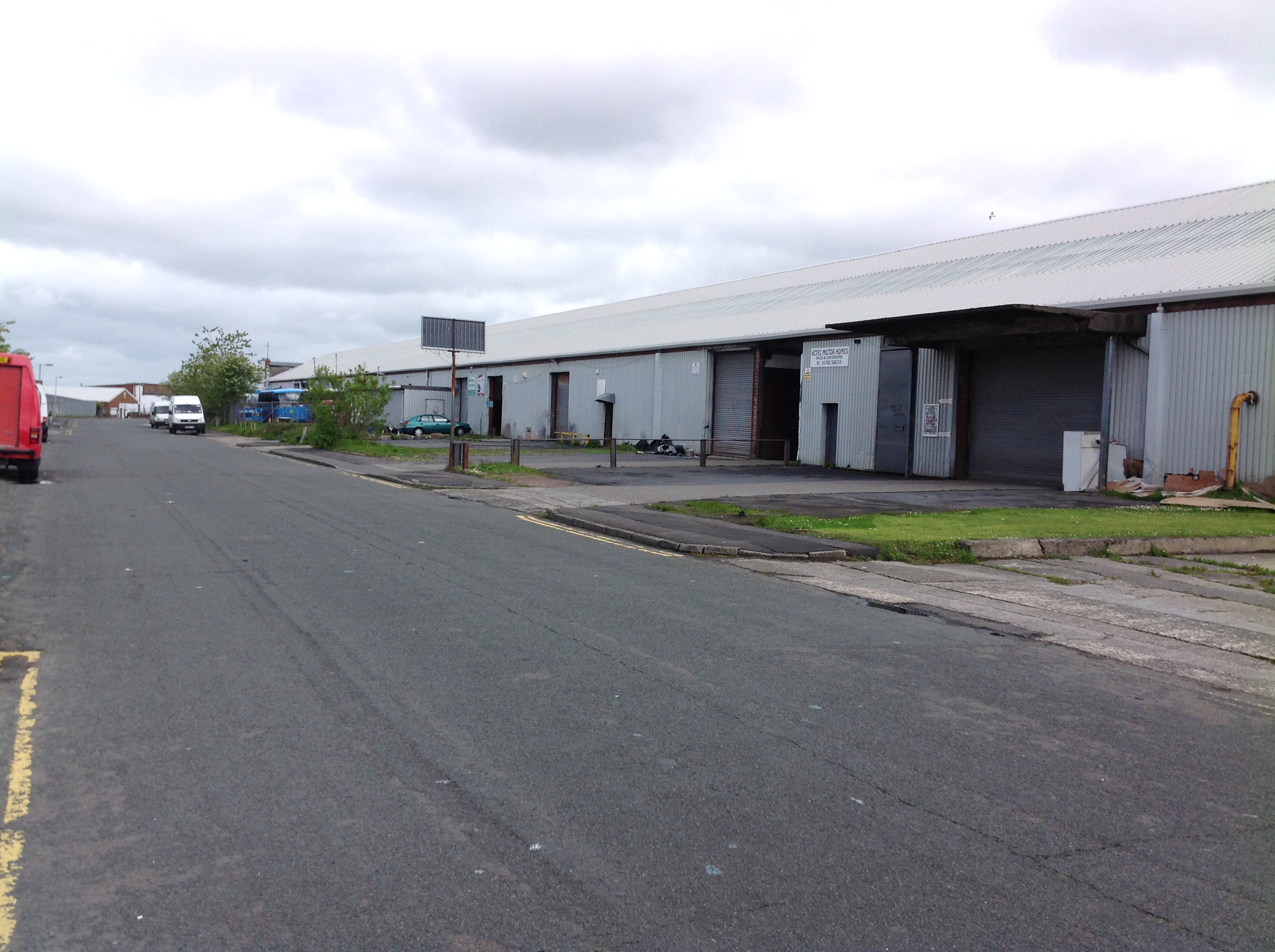
Pinnau
 Class31 |
Monday 12th of May 2014 08:17:32 AM |
Cyfraniadau Grŵp
 Aerial view over Swansea looking broadly south east along Carmarthen Road from Fforestfach towards Swansea Bay showing Swansea Docks and the Mumbles, October 20013. Courtesy Con Shields |
Class31 |
Monday 5th of January 2015 08:26:21 AM |
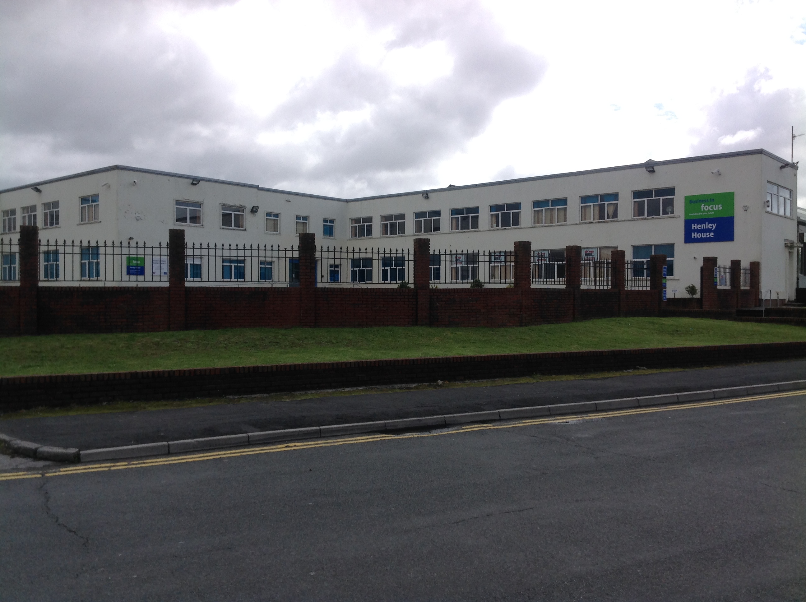 Office frontage 11/05/2014 |
Class31 |
Monday 12th of May 2014 08:51:26 AM |
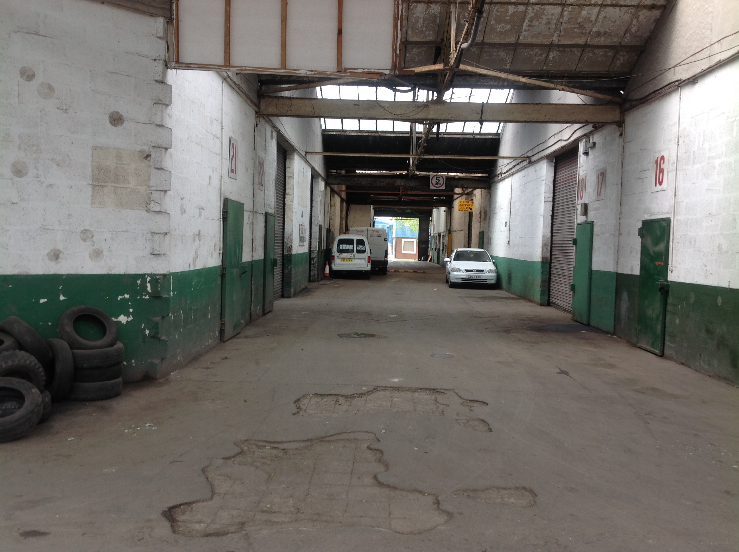 Inside the ex Mettoy factory 11/05/2014 |
Class31 |
Monday 12th of May 2014 08:42:26 AM |
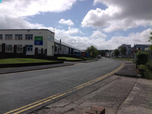
 Queensway looking north west 11/05/2014 |
Class31 |
Monday 12th of May 2014 08:36:30 AM |


