
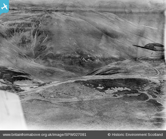
SPW027081 SCOTLAND (1929). Devil's Beef Tub, Moffat. An oblique aerial photograph taken facing north-east.
© Hawlfraint cyfranwyr OpenStreetMap a thrwyddedwyd gan yr OpenStreetMap Foundation. 2024. Trwyddedir y gartograffeg fel CC BY-SA.
Manylion
| Pennawd | [SPW027081] Devil's Beef Tub, Moffat. An oblique aerial photograph taken facing north-east. |
| Cyfeirnod | SPW027081 |
| Dyddiad | 1929 |
| Dolen | Canmore Collection item 1259332 |
| Enw lle | |
| Plwyf | MOFFAT |
| Ardal | ANNANDALE AND ESKDALE |
| Gwlad | SCOTLAND |
| Dwyreiniad / Gogleddiad | 306140, 612870 |
| Hydred / Lledred | -3.4822946090507, 55.400752920836 |
| Cyfeirnod Grid Cenedlaethol | NT061129 |
Pinnau
 Mike Holder |
Tuesday 13th of February 2018 09:42:21 PM | |
Mike Holder |
Tuesday 13th of February 2018 09:32:04 PM | |
Mike Holder |
Tuesday 13th of February 2018 09:28:03 PM | |
Mike Holder |
Tuesday 13th of February 2018 09:26:55 PM | |
Mike Holder |
Tuesday 13th of February 2018 09:25:40 PM | |
Mike Holder |
Tuesday 13th of February 2018 09:14:56 PM | |
Mike Holder |
Tuesday 13th of February 2018 09:11:52 PM | |
Mike Holder |
Tuesday 13th of February 2018 09:02:13 PM | |
Mike Holder |
Tuesday 13th of February 2018 09:01:20 PM | |
Mike Holder |
Tuesday 13th of February 2018 08:58:44 PM |


