
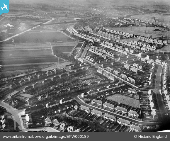
EPW060189 ENGLAND (1938). Rothesay Avenue and environs, Greenford, 1938
© Hawlfraint cyfranwyr OpenStreetMap a thrwyddedwyd gan yr OpenStreetMap Foundation. 2024. Trwyddedir y gartograffeg fel CC BY-SA.
Manylion
| Pennawd | [EPW060189] Rothesay Avenue and environs, Greenford, 1938 |
| Cyfeirnod | EPW060189 |
| Dyddiad | 30-November-1938 |
| Dolen | |
| Enw lle | GREENFORD |
| Plwyf | |
| Ardal | |
| Gwlad | ENGLAND |
| Dwyreiniad / Gogleddiad | 514659, 184741 |
| Hydred / Lledred | -0.34615668049231, 51.549416909502 |
| Cyfeirnod Grid Cenedlaethol | TQ147847 |
Pinnau
 JimmyBrandon |
Sunday 14th of July 2019 08:33:13 PM | |
tim |
Tuesday 5th of December 2017 03:42:22 AM | |
tim |
Tuesday 5th of December 2017 03:39:13 AM | |
 Des Elmes |
Wednesday 6th of April 2016 02:18:09 AM | |
Des Elmes |
Wednesday 6th of April 2016 02:17:42 AM | |
Des Elmes |
Wednesday 6th of April 2016 02:17:22 AM | |
Des Elmes |
Wednesday 6th of April 2016 02:16:55 AM | |
Des Elmes |
Wednesday 6th of April 2016 02:16:27 AM | |
Des Elmes |
Wednesday 6th of April 2016 02:15:59 AM | |
Des Elmes |
Wednesday 6th of April 2016 02:15:38 AM | |
Chriss |
Sunday 3rd of January 2016 03:10:11 PM | |
Chriss |
Sunday 3rd of January 2016 02:55:32 PM |


