
EPW056655 ENGLAND (1938). Whitestone Pond and environs, Hampstead Heath, 1938

© Hawlfraint cyfranwyr OpenStreetMap a thrwyddedwyd gan yr OpenStreetMap Foundation. 2024. Trwyddedir y gartograffeg fel CC BY-SA.
Delweddau cyfagos (16)
EPW056655

EPW026949

EPW028170

EPW000818

EPW026950

EPW020198

EPW020198
EPW009353

EPW020197

EPW020197
EPW056656

EPW000430

EAW000612

EAW000613

EAW000611

EPW016652

Manylion
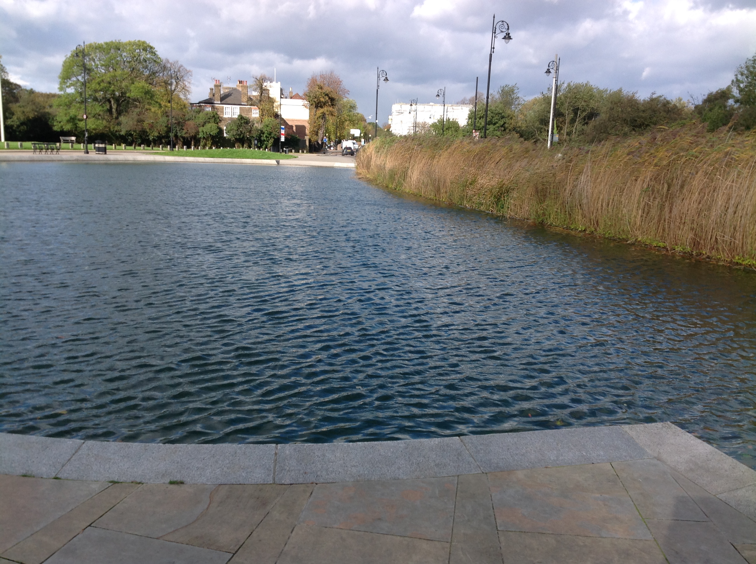
| Pennawd | [EPW056655] Whitestone Pond and environs, Hampstead Heath, 1938 |
| Cyfeirnod | EPW056655 |
| Dyddiad | 30-March-1938 |
| Dolen | |
| Enw lle | HAMPSTEAD HEATH |
| Plwyf | |
| Ardal | |
| Gwlad | ENGLAND |
| Dwyreiniad / Gogleddiad | 526260, 186277 |
| Hydred / Lledred | -0.17835890546224, 51.560745236618 |
| Cyfeirnod Grid Cenedlaethol | TQ263863 |
Pinnau


Cyfraniadau Grŵp
 Whitestone Pond, Hampstead, 21/10/2014 |
 Class31 |
Monday 27th of October 2014 02:42:23 PM |


