
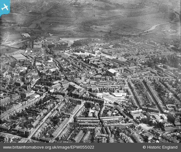
EPW055022 ENGLAND (1937). St Peter's Street and the city, Derby, from the south-west, 1937
© Hawlfraint cyfranwyr OpenStreetMap a thrwyddedwyd gan yr OpenStreetMap Foundation. 2024. Trwyddedir y gartograffeg fel CC BY-SA.
Delweddau cyfagos (5)
EPW055022

EPW005814

EAW004655

EPW055027

EAW004654

Manylion
| Pennawd | [EPW055022] St Peter's Street and the city, Derby, from the south-west, 1937 |
| Cyfeirnod | EPW055022 |
| Dyddiad | August-1937 |
| Dolen | |
| Enw lle | DERBY |
| Plwyf | |
| Ardal | |
| Gwlad | ENGLAND |
| Dwyreiniad / Gogleddiad | 435063, 335777 |
| Hydred / Lledred | -1.4784682232933, 52.917948866633 |
| Cyfeirnod Grid Cenedlaethol | SK351358 |
Pinnau
 HelsyB |
Thursday 7th of January 2021 08:06:27 PM | |
HelsyB |
Thursday 7th of January 2021 08:02:12 PM | |
HelsyB |
Thursday 7th of January 2021 08:01:45 PM | |
BGP |
Thursday 14th of August 2014 09:48:53 PM | |
BGP |
Thursday 14th of August 2014 09:47:22 PM |


