
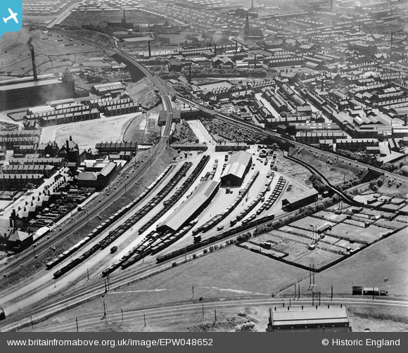
EPW048652 ENGLAND (1935). Radcliffe New Station, adjacent goods station and environs, Radcliffe, 1935
© Hawlfraint cyfranwyr OpenStreetMap a thrwyddedwyd gan yr OpenStreetMap Foundation. 2024. Trwyddedir y gartograffeg fel CC BY-SA.
Delweddau cyfagos (19)
EPW048652

EPW048655

EPW048651

EPW048654

EPW048647

EPW047484

EPW048649

EAW051420
 and Radcliffe Goods Yard, Radcliffe, 1953. This image was marked by Aerofilms Ltd for photo editing.")
EPW047489

EAW051416
 and Spring Lane, Radcliffe, 1953. This image was marked by Aerofilms Ltd for photo editing.")
EAW008446
 and the East Lancashire Paper Mill, Radcliffe, from the west, 1947. This image was marked by Aerofilms Ltd for photo editing.")
EAW051414
, Radcliffe, 1953. This image was marked by Aerofilms Ltd for photo editing.")
EAW051417
 and Grey Street, Radcliffe, 1953. This image was marked by Aerofilms Ltd for photo editing.")
EAW051415
, Radcliffe, 1953. This image was marked by Aerofilms Ltd for photo editing.")
EAW051412
 and Grey Street, Radcliffe, 1953. This image was marked by Aerofilms Ltd for photo editing.")
EAW051419
, Radcliffe, 1953. This image was marked by Aerofilms Ltd for photo editing.")
EAW051413
, Radcliffe, 1953. This image was marked by Aerofilms Ltd for photo editing.")
EAW051418
 and Spring Lane, Radcliffe, 1953. This image was marked by Aerofilms Ltd for photo editing.")
EPW047485

Manylion
| Pennawd | [EPW048652] Radcliffe New Station, adjacent goods station and environs, Radcliffe, 1935 |
| Cyfeirnod | EPW048652 |
| Dyddiad | July-1935 |
| Dolen | |
| Enw lle | RADCLIFFE |
| Plwyf | |
| Ardal | |
| Gwlad | ENGLAND |
| Dwyreiniad / Gogleddiad | 378766, 407494 |
| Hydred / Lledred | -2.320624317469, 53.563388983254 |
| Cyfeirnod Grid Cenedlaethol | SD788075 |
Pinnau
 Moonraker |
Sunday 29th of October 2023 08:48:15 PM | |
K |
Wednesday 15th of January 2020 11:30:43 PM | |
K |
Wednesday 15th of January 2020 11:28:54 PM | |
K |
Wednesday 15th of January 2020 11:26:53 PM | |
K |
Wednesday 15th of January 2020 11:24:50 PM | |
K |
Wednesday 15th of January 2020 11:23:09 PM | |
K |
Wednesday 15th of January 2020 11:22:19 PM | |
K |
Wednesday 15th of January 2020 11:16:17 PM | |
K |
Wednesday 15th of January 2020 11:14:04 PM | |
K |
Wednesday 15th of January 2020 11:11:27 PM | |
K |
Wednesday 15th of January 2020 11:08:49 PM | |
Andy Williams |
Monday 31st of March 2014 07:46:43 PM |
Cyfraniadau Grŵp
The rail track on the left is now the Manchester Metro Tram system, the track to the right is long gone |
wadey |
Sunday 25th of August 2013 11:15:58 PM |


