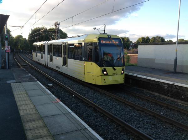
EPW048650 ENGLAND (1935). The railway station and environs, Prestwich, 1935. This image has been produced from a damaged negative.

© Hawlfraint cyfranwyr OpenStreetMap a thrwyddedwyd gan yr OpenStreetMap Foundation. 2024. Trwyddedir y gartograffeg fel CC BY-SA.
Delweddau cyfagos (11)
EPW048650

EPW048653

EPW047504

EPW047506

EPW048648

EPW047505

EPW046179

EPW047503

EPW047502

EPW046173

EPW018836

Manylion
| Pennawd | [EPW048650] The railway station and environs, Prestwich, 1935. This image has been produced from a damaged negative. |
| Cyfeirnod | EPW048650 |
| Dyddiad | July-1935 |
| Dolen | |
| Enw lle | PRESTWICH |
| Plwyf | |
| Ardal | |
| Gwlad | ENGLAND |
| Dwyreiniad / Gogleddiad | 381429, 404039 |
| Hydred / Lledred | -2.2802095038741, 53.53243202932 |
| Cyfeirnod Grid Cenedlaethol | SD814040 |
Pinnau
 Moonraker |
Wednesday 4th of October 2023 07:24:18 PM | |
Moonraker |
Wednesday 4th of October 2023 07:20:41 PM | |
Moonraker |
Wednesday 4th of October 2023 06:36:58 PM | |
Moonraker |
Wednesday 4th of October 2023 06:30:21 PM | |
Moonraker |
Wednesday 4th of October 2023 06:29:07 PM | |
Moonraker |
Wednesday 4th of October 2023 06:27:01 PM | |
Moonraker |
Wednesday 4th of October 2023 06:24:03 PM | |
Moonraker |
Wednesday 4th of October 2023 06:21:34 PM | |
 Class31 |
Wednesday 15th of October 2014 04:28:04 PM |