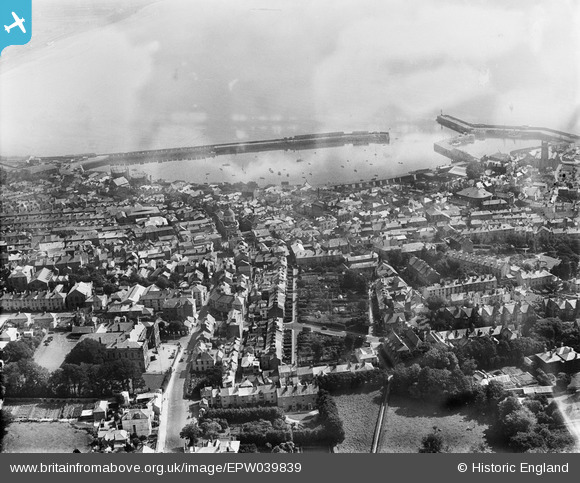
EPW039839 ENGLAND (1932). The town centre and the Harbour, Penzance, 1932
© Hawlfraint cyfranwyr OpenStreetMap a thrwyddedwyd gan yr OpenStreetMap Foundation. 2024. Trwyddedir y gartograffeg fel CC BY-SA.
Delweddau cyfagos (3)
EPW039839

EPW039838

EPW021758

Manylion
| Pennawd | [EPW039839] The town centre and the Harbour, Penzance, 1932 |
| Cyfeirnod | EPW039839 |
| Dyddiad | August-1932 |
| Dolen | |
| Enw lle | PENZANCE |
| Plwyf | PENZANCE |
| Ardal | |
| Gwlad | ENGLAND |
| Dwyreiniad / Gogleddiad | 147271, 30237 |
| Hydred / Lledred | -5.5358040431982, 50.117687963923 |
| Cyfeirnod Grid Cenedlaethol | SW473302 |