
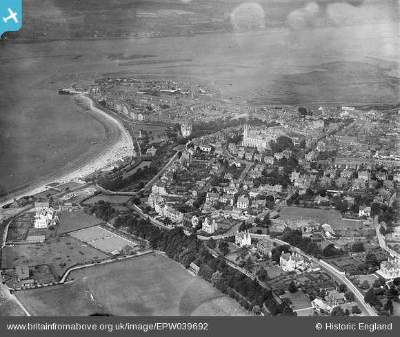
EPW039692 ENGLAND (1932). The town and the River Exe, Exmouth, from the south-east, 1932
© Hawlfraint cyfranwyr OpenStreetMap a thrwyddedwyd gan yr OpenStreetMap Foundation. 2024. Trwyddedir y gartograffeg fel CC BY-SA.
Delweddau cyfagos (7)
EPW039692

EPW023920

EPW023660

EPW039691

EPW023679

EPW039695

EPW023669

Manylion
| Pennawd | [EPW039692] The town and the River Exe, Exmouth, from the south-east, 1932 |
| Cyfeirnod | EPW039692 |
| Dyddiad | August-1932 |
| Dolen | |
| Enw lle | EXMOUTH |
| Plwyf | EXMOUTH |
| Ardal | |
| Gwlad | ENGLAND |
| Dwyreiniad / Gogleddiad | 300430, 80430 |
| Hydred / Lledred | -3.4075225258037, 50.614486927268 |
| Cyfeirnod Grid Cenedlaethol | SY004804 |
Pinnau
 DuryardDotcom |
Tuesday 11th of June 2013 11:15:45 PM | |
DuryardDotcom |
Tuesday 11th of June 2013 11:10:01 PM | |
manxie |
Tuesday 11th of December 2012 07:45:15 PM |


