
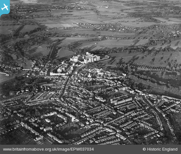
EPW037034 ENGLAND (1931). Windsor Castle and the town, Windsor, from the south-west, 1931
© Hawlfraint cyfranwyr OpenStreetMap a thrwyddedwyd gan yr OpenStreetMap Foundation. 2024. Trwyddedir y gartograffeg fel CC BY-SA.
Delweddau cyfagos (7)
EPW037034

EAW052998

EPW022604

EPW056588

EPW022610

EAW052999

EPR000458

Manylion
| Pennawd | [EPW037034] Windsor Castle and the town, Windsor, from the south-west, 1931 |
| Cyfeirnod | EPW037034 |
| Dyddiad | October-1931 |
| Dolen | |
| Enw lle | WINDSOR |
| Plwyf | |
| Ardal | |
| Gwlad | ENGLAND |
| Dwyreiniad / Gogleddiad | 496536, 176538 |
| Hydred / Lledred | -0.60971952014745, 51.479065999304 |
| Cyfeirnod Grid Cenedlaethol | SU965765 |
Pinnau
 dave43 |
Monday 1st of July 2019 08:44:17 PM | |
Patrick |
Tuesday 9th of September 2014 10:25:11 PM | |
Thamesweb |
Monday 19th of August 2013 11:48:52 AM |
Cyfraniadau Grŵp
 Windsor and Eton Central Railway Station |
 Alan McFaden |
Saturday 8th of November 2014 10:45:23 AM |
 Windsor and Eton Riverside Railway Station |
Alan McFaden |
Saturday 8th of November 2014 10:44:49 AM |
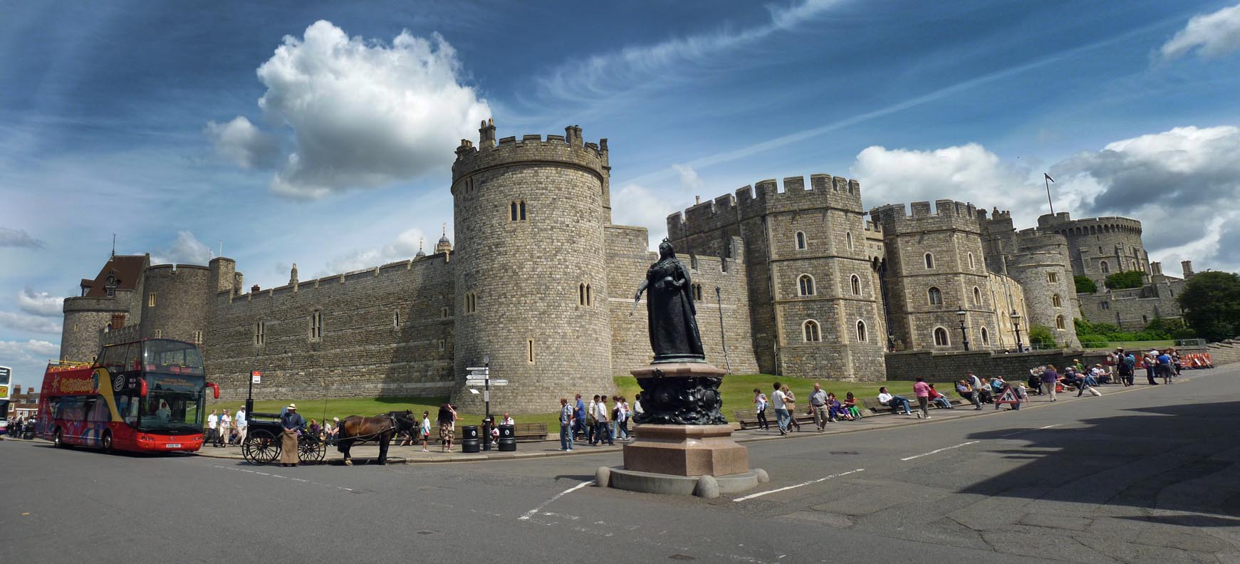 Windsor Castle |
Alan McFaden |
Sunday 12th of October 2014 02:29:42 PM |
 Windsor Castle 07/06/2009 |
 Class31 |
Tuesday 6th of May 2014 10:01:14 AM |
 Windsor Castle 07/06/2009 |
Class31 |
Tuesday 6th of May 2014 10:00:33 AM |


