
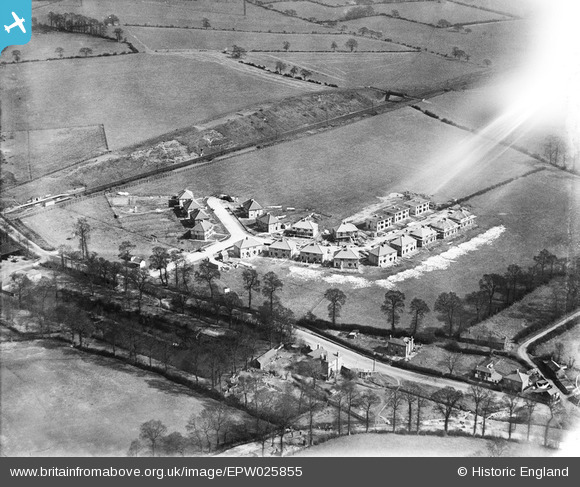
EPW025855 ENGLAND (1929). Housing along Belvue Road and Sandringham Road under construction, Northolt, 1929
© Hawlfraint cyfranwyr OpenStreetMap a thrwyddedwyd gan yr OpenStreetMap Foundation. 2024. Trwyddedir y gartograffeg fel CC BY-SA.
Delweddau cyfagos (13)
EPW025855

EPW025858

EPW025853

EPW025860

EPW025852

EPW025859

EPW025851

EPW025854

EPW025856

EPW025857

EPW025861

EPW040792

EPW035056

Manylion
| Pennawd | [EPW025855] Housing along Belvue Road and Sandringham Road under construction, Northolt, 1929 |
| Cyfeirnod | EPW025855 |
| Dyddiad | March-1929 |
| Dolen | |
| Enw lle | NORTHOLT |
| Plwyf | |
| Ardal | |
| Gwlad | ENGLAND |
| Dwyreiniad / Gogleddiad | 513274, 184340 |
| Hydred / Lledred | -0.36625428727977, 51.546092214078 |
| Cyfeirnod Grid Cenedlaethol | TQ133843 |
Pinnau
 Class31 |
Friday 28th of September 2012 06:32:30 PM | |
Class31 |
Friday 28th of September 2012 06:32:06 PM | |
Class31 |
Friday 28th of September 2012 06:31:28 PM | |
Class31 |
Friday 28th of September 2012 06:31:09 PM | |
this is Ealing Road not Mandeville,A312 |
 j miller |
Monday 11th of November 2013 12:10:27 PM |
Paul |
Wednesday 19th of September 2012 08:39:11 PM |


