
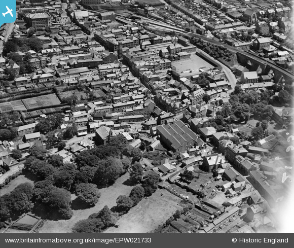
EPW021733 ENGLAND (1928). Fore Street and the town, Redruth, 1928
© Hawlfraint cyfranwyr OpenStreetMap a thrwyddedwyd gan yr OpenStreetMap Foundation. 2024. Trwyddedir y gartograffeg fel CC BY-SA.
Delweddau cyfagos (10)
EPW021733

EPW009903

EAW033647

EPW009904A

EPW009905

EPW009904

EPW021734

EPW009902

EAW033649

EPW039788

Manylion
| Pennawd | [EPW021733] Fore Street and the town, Redruth, 1928 |
| Cyfeirnod | EPW021733 |
| Dyddiad | 24-June-1928 |
| Dolen | |
| Enw lle | REDRUTH |
| Plwyf | REDRUTH |
| Ardal | |
| Gwlad | ENGLAND |
| Dwyreiniad / Gogleddiad | 169762, 42002 |
| Hydred / Lledred | -5.228817744536, 50.232490674942 |
| Cyfeirnod Grid Cenedlaethol | SW698420 |
Pinnau
 Pentaprism |
Saturday 31st of October 2020 01:58:03 AM | |
Pentaprism |
Saturday 31st of October 2020 01:52:28 AM | |
Pentaprism |
Saturday 31st of October 2020 01:50:59 AM | |
Pentaprism |
Saturday 31st of October 2020 01:49:23 AM | |
Gary |
Saturday 11th of July 2020 04:45:28 PM | |
Stu |
Sunday 27th of January 2013 12:40:19 AM | |
Stu |
Sunday 27th of January 2013 12:36:16 AM | |
MB |
Tuesday 11th of September 2012 10:36:08 AM | |
MB |
Tuesday 11th of September 2012 10:34:05 AM | |
MB |
Tuesday 11th of September 2012 10:33:24 AM | |
MB |
Tuesday 11th of September 2012 10:32:45 AM | |
MB |
Tuesday 11th of September 2012 10:32:05 AM |


