
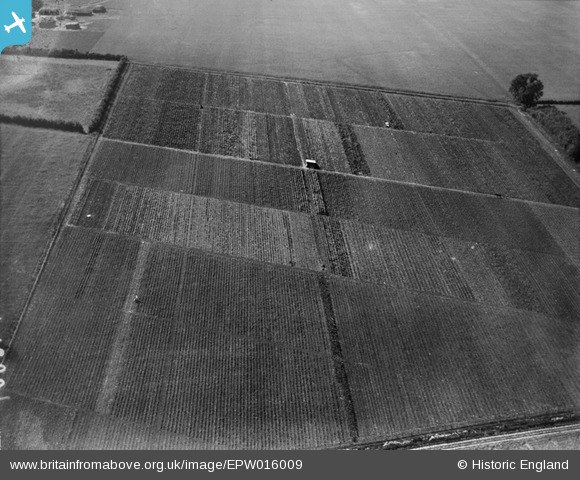
EPW016009 ENGLAND (1926). Horticultural plots, Wickhambrook, 1926
© Hawlfraint cyfranwyr OpenStreetMap a thrwyddedwyd gan yr OpenStreetMap Foundation. 2024. Trwyddedir y gartograffeg fel CC BY-SA.
Delweddau cyfagos (7)
EPW016009

EPW016006

EPW016010

EPW016004

EPW016008

EPW016005

EPW016011

Manylion
| Pennawd | [EPW016009] Horticultural plots, Wickhambrook, 1926 |
| Cyfeirnod | EPW016009 |
| Dyddiad | 1-July-1926 |
| Dolen | |
| Enw lle | WICKHAMBROOK |
| Plwyf | WICKHAMBROOK |
| Ardal | |
| Gwlad | ENGLAND |
| Dwyreiniad / Gogleddiad | 574355, 256495 |
| Hydred / Lledred | 0.55036659212148, 52.178708926946 |
| Cyfeirnod Grid Cenedlaethol | TL744565 |
Pinnau
Cyfraniadau Grŵp
Photograph taken looking north-westwards |
 nkingdon |
Wednesday 8th of January 2014 09:03:56 AM |
Thanks for all the effort nkingdon. We'll update the catalogue and post the new data here in due course. Yours, Katy Britain from Above Cataloguing Team Leader |
Katy Whitaker |
Wednesday 8th of January 2014 09:03:56 AM |
Another mystery solved. Excellent work nkingdon |
 Class31 |
Tuesday 12th of November 2013 11:10:55 PM |


