
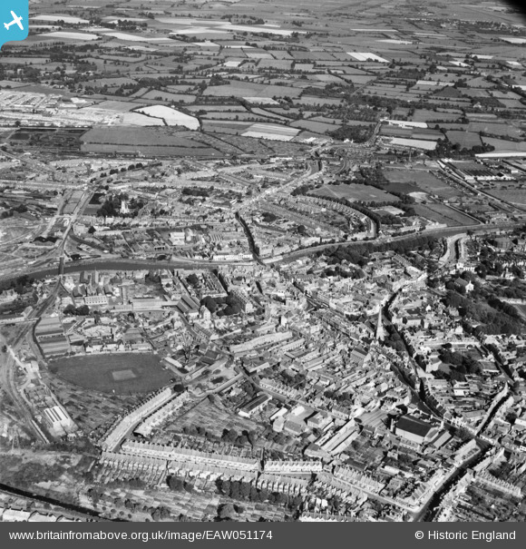
EAW051174 ENGLAND (1953). The town, Bridgwater, 1953
© Hawlfraint cyfranwyr OpenStreetMap a thrwyddedwyd gan yr OpenStreetMap Foundation. 2024. Trwyddedir y gartograffeg fel CC BY-SA.
Delweddau cyfagos (9)
EAW051174

EPW027940

EAW051173

EAW051175

EPW039923

EAW051939

EAW051938

EAW051176

EAW051940

Manylion
| Pennawd | [EAW051174] The town, Bridgwater, 1953 |
| Cyfeirnod | EAW051174 |
| Dyddiad | 6-August-1953 |
| Dolen | |
| Enw lle | BRIDGWATER |
| Plwyf | BRIDGWATER |
| Ardal | |
| Gwlad | ENGLAND |
| Dwyreiniad / Gogleddiad | 330059, 137099 |
| Hydred / Lledred | -2.9996093007507, 51.128367985632 |
| Cyfeirnod Grid Cenedlaethol | ST301371 |
Pinnau
 MB |
Sunday 11th of September 2016 11:13:30 AM | |
MB |
Sunday 11th of September 2016 11:12:36 AM | |
MB |
Sunday 11th of September 2016 11:11:21 AM | |
MB |
Sunday 11th of September 2016 11:09:47 AM | |
MB |
Sunday 11th of September 2016 11:07:57 AM | |
MB |
Sunday 11th of September 2016 11:07:14 AM | |
MB |
Sunday 11th of September 2016 11:06:05 AM |


