EAW047051 ENGLAND (1952). Stepney Church Yard, the Limehouse Fields Estate and King George's Field, Mile End, from the south-west, 1952

© Hawlfraint cyfranwyr OpenStreetMap a thrwyddedwyd gan yr OpenStreetMap Foundation. 2024. Trwyddedir y gartograffeg fel CC BY-SA.
Delweddau cyfagos (4)
EAW047051

EAW047054

EAW047055

EAW047052

Manylion
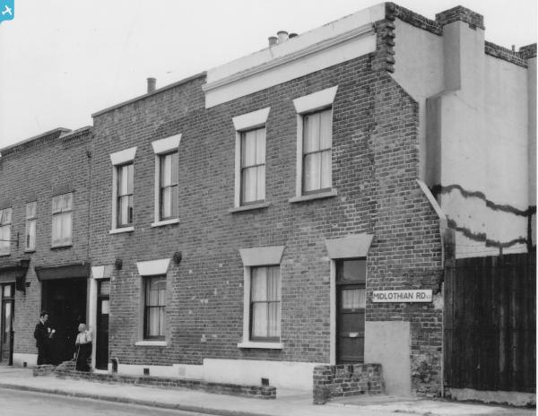
| Pennawd | [EAW047051] Stepney Church Yard, the Limehouse Fields Estate and King George's Field, Mile End, from the south-west, 1952 |
| Cyfeirnod | EAW047051 |
| Dyddiad | 6-October-1952 |
| Dolen | |
| Enw lle | MILE END |
| Plwyf | |
| Ardal | |
| Gwlad | ENGLAND |
| Dwyreiniad / Gogleddiad | 536074, 181528 |
| Hydred / Lledred | -0.038687691782545, 51.515782523617 |
| Cyfeirnod Grid Cenedlaethol | TQ361815 |
Pinnau
 Leslie B |
Tuesday 12th of July 2022 05:31:15 PM | |
 |
Leslie B |
Tuesday 12th of July 2022 05:20:37 PM |
EMLM |
Saturday 1st of February 2020 12:46:44 PM | |
EMLM |
Saturday 1st of February 2020 12:44:44 PM | |
Post-war prefabs |
Saturday 9th of November 2019 09:03:54 AM | |
Post-war prefabs |
Saturday 9th of November 2019 09:02:40 AM | |
Post-war prefabs |
Saturday 9th of November 2019 09:00:27 AM | |
Ian |
Monday 5th of January 2015 09:02:18 PM | |
twc |
Monday 24th of November 2014 09:29:08 AM | |
twc |
Tuesday 30th of September 2014 09:11:42 AM | |
twc |
Wednesday 24th of September 2014 04:26:38 PM | |
Ian |
Wednesday 16th of July 2014 08:08:28 PM | |
Ian |
Wednesday 16th of July 2014 08:07:52 PM | |
Ian |
Saturday 14th of June 2014 10:39:30 AM |