
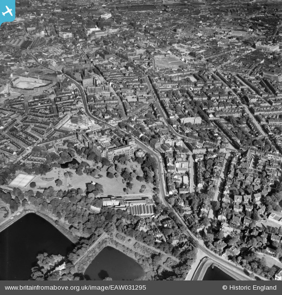
EAW031295 ENGLAND (1950). Weston Park, the University and the city, Sheffield, 1950
© Hawlfraint cyfranwyr OpenStreetMap a thrwyddedwyd gan yr OpenStreetMap Foundation. 2024. Trwyddedir y gartograffeg fel CC BY-SA.
Delweddau cyfagos (5)
EAW031295

EAW031297

EAW031298

EPW005949

EAW031296

Manylion
| Pennawd | [EAW031295] Weston Park, the University and the city, Sheffield, 1950 |
| Cyfeirnod | EAW031295 |
| Dyddiad | 26-July-1950 |
| Dolen | |
| Enw lle | SHEFFIELD |
| Plwyf | |
| Ardal | |
| Gwlad | ENGLAND |
| Dwyreiniad / Gogleddiad | 434118, 387243 |
| Hydred / Lledred | -1.4870395788003, 53.380670269212 |
| Cyfeirnod Grid Cenedlaethol | SK341872 |
Pinnau
 aardvark |
Saturday 30th of October 2021 02:40:18 PM | |
Chris Kolonko |
Tuesday 12th of September 2017 09:37:19 PM | |
RichardL |
Wednesday 22nd of October 2014 01:08:58 PM | |
RichardL |
Wednesday 22nd of October 2014 01:03:49 PM | |
RichardL |
Wednesday 22nd of October 2014 01:03:14 PM | |
RichardL |
Wednesday 22nd of October 2014 01:02:25 PM | |
RichardL |
Wednesday 22nd of October 2014 01:01:45 PM |


