
EAW028794 ENGLAND (1950). Harrow Swimming Pool and Cricket Grounds in the snow, Harrow, from the north, 1950
© Hawlfraint cyfranwyr OpenStreetMap a thrwyddedwyd gan yr OpenStreetMap Foundation. 2024. Trwyddedir y gartograffeg fel CC BY-SA.
Delweddau cyfagos (4)
EAW028794

EPW005345

EPW000465

EAW028795

Manylion
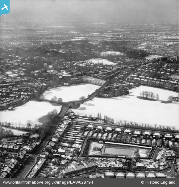
| Pennawd | [EAW028794] Harrow Swimming Pool and Cricket Grounds in the snow, Harrow, from the north, 1950 |
| Cyfeirnod | EAW028794 |
| Dyddiad | 25-April-1950 |
| Dolen | |
| Enw lle | HARROW |
| Plwyf | |
| Ardal | |
| Gwlad | ENGLAND |
| Dwyreiniad / Gogleddiad | 514812, 187518 |
| Hydred / Lledred | -0.34304361780213, 51.574347273342 |
| Cyfeirnod Grid Cenedlaethol | TQ148875 |
Pinnau
 Robo |
Wednesday 22nd of February 2017 07:20:37 PM | |
Robo |
Wednesday 22nd of February 2017 07:09:40 PM | |
The Laird |
Sunday 29th of May 2016 10:11:36 AM | |
The Laird |
Friday 25th of March 2016 04:14:28 PM | |
The Laird |
Tuesday 15th of March 2016 07:24:20 PM | |
The Laird |
Tuesday 8th of March 2016 08:25:36 PM | |
The Laird |
Sunday 19th of April 2015 01:39:18 PM | |
Keefffff |
Thursday 9th of October 2014 03:16:07 PM | |
The Laird |
Wednesday 25th of June 2014 06:50:01 PM | |
The Laird |
Wednesday 25th of June 2014 06:48:37 PM | |
The Laird |
Wednesday 25th of June 2014 06:47:14 PM | |
The Laird |
Wednesday 25th of June 2014 06:45:30 PM | |
The Laird |
Wednesday 25th of June 2014 06:41:49 PM | |
The Laird |
Wednesday 25th of June 2014 06:38:47 PM | |
The Laird |
Wednesday 25th of June 2014 06:38:12 PM | |
The Laird |
Wednesday 25th of June 2014 06:36:39 PM | |
czyrko |
Sunday 27th of April 2014 08:10:26 AM | |
czyrko |
Sunday 27th of April 2014 08:05:44 AM | |
I rather think that is Kingsfield Road with the Kingsfield Arms on the corner. West Street is the next one along. |
The Laird |
Wednesday 25th of June 2014 06:35:49 PM |
This is indeed Kingsfield Road & West Street is next left (past the cricket field at the bend) |
JamesMac |
Saturday 27th of November 2021 06:37:30 PM |
czyrko |
Sunday 27th of April 2014 08:05:26 AM |


