
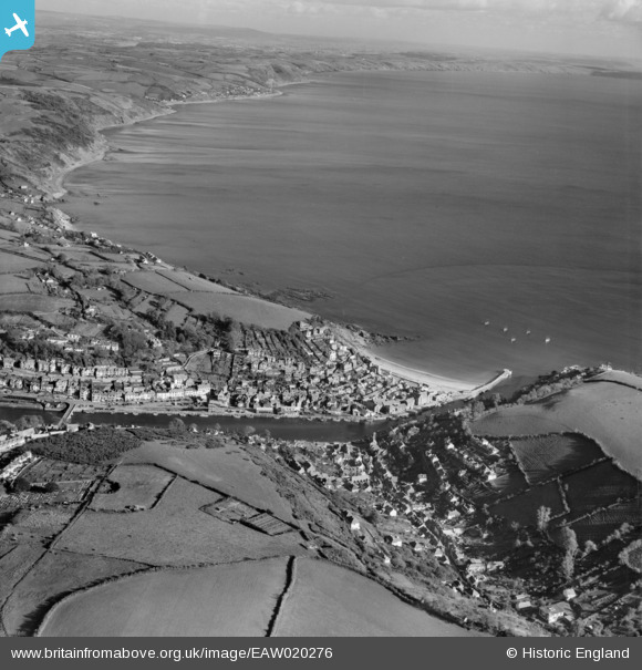
EAW020276 ENGLAND (1948). East Looe and Looe Bay, Looe, from the west, 1948
© Hawlfraint cyfranwyr OpenStreetMap a thrwyddedwyd gan yr OpenStreetMap Foundation. 2024. Trwyddedir y gartograffeg fel CC BY-SA.
Delweddau cyfagos (3)
EAW020276

EPW033054

EPW033053

Manylion
| Pennawd | [EAW020276] East Looe and Looe Bay, Looe, from the west, 1948 |
| Cyfeirnod | EAW020276 |
| Dyddiad | 26-October-1948 |
| Dolen | |
| Enw lle | LOOE |
| Plwyf | LOOE |
| Ardal | |
| Gwlad | ENGLAND |
| Dwyreiniad / Gogleddiad | 225094, 53243 |
| Hydred / Lledred | -4.458931270583, 50.352468426451 |
| Cyfeirnod Grid Cenedlaethol | SX251532 |
Pinnau
 redmist |
Wednesday 16th of December 2020 10:33:37 AM | |
redmist |
Wednesday 16th of December 2020 10:33:25 AM | |
redmist |
Wednesday 16th of December 2020 10:31:37 AM | |
redmist |
Wednesday 16th of December 2020 10:30:32 AM | |
redmist |
Tuesday 15th of December 2020 03:38:18 PM |


