
Grwpiau

Transport
About the group Themed images of transport
Wedi ei greu 5 December 2012

AlMu |
||
|
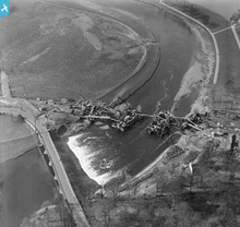
'Dry' docks are areas of dockland which provide spaces for ships to sail into, but which can then be drained to allow them to be repaired or (in this case) to be broken up and demolished once there is no further use for them. As we see here, they can be very large structures, providing space not only for the ships themselves but also for cranes, storage, access and transportation.
|
AlMu |
|
|
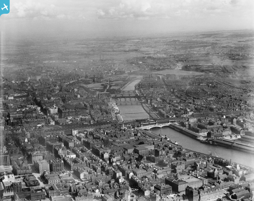
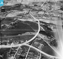
Rivers offer major obstacles to road and rail systems, and have to be bridged if one area is to be joined to another efficiently and transport networks are to evolve. This can involve major construction projects, as we see here.
|
AlMu |
|
|
A great view of a working port Fishguard Harbour.
|
KimberlyBriscoe |
|
|
Cardiff Airport the old RAF and civil flying airport as it was in Pengham Moors, Splott, before it was moved to it's current location in Rhoose.
|
KimberlyBriscoe |
|
|
A great view of Brecon and Merthyr Railway line
|
KimberlyBriscoe |
|
|
A great photograph of Conwy Castle and bridge, Wales.
|
KimberlyBriscoe |
|
|
A great view of the Menai suspension Bridge providing passage over the Menai straights between Anglesey and mainland North Wales.
|
KimberlyBriscoe |
|
|
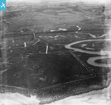
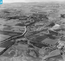
Settlements, industry, roads, canals and railways often follow river valleys as here. River valleys are flat and can be wide. Early settlements used rivers for transport and for water supplies. River valleys also provided fertile land for growing crops.
|
MM |
|
|
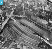
This view shows how New Street railway station was built in the heart of the city centre causing huge changes to the Victorian city. In the 1960s the station was covered over with a new shopping centre which again changed the cityscape.
See more images of railways from the English Heritage Archive collections on Heritage Explorer http://www.heritage-explorer.co.uk/web/he/imagebytheme.aspx?ctid=19 |
MM |
|
|
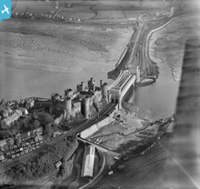
An aerial view of the Forth & Clyde canal, which runs from the River Carron near Grangemouth in the East (where it connects to the Firth of Forth) to the Clyde at Bowling in the West. The canal is connected to the Union canal (connecting Falkirk to Edinburgh) by the innovative rotating lift of the Falkirk Wheel.
|
AlMu |
|
 |
AlMu |


see image record